Mexico
The latest picture updates are from Guerrero Negro to Loreto and on the way to La Paz.
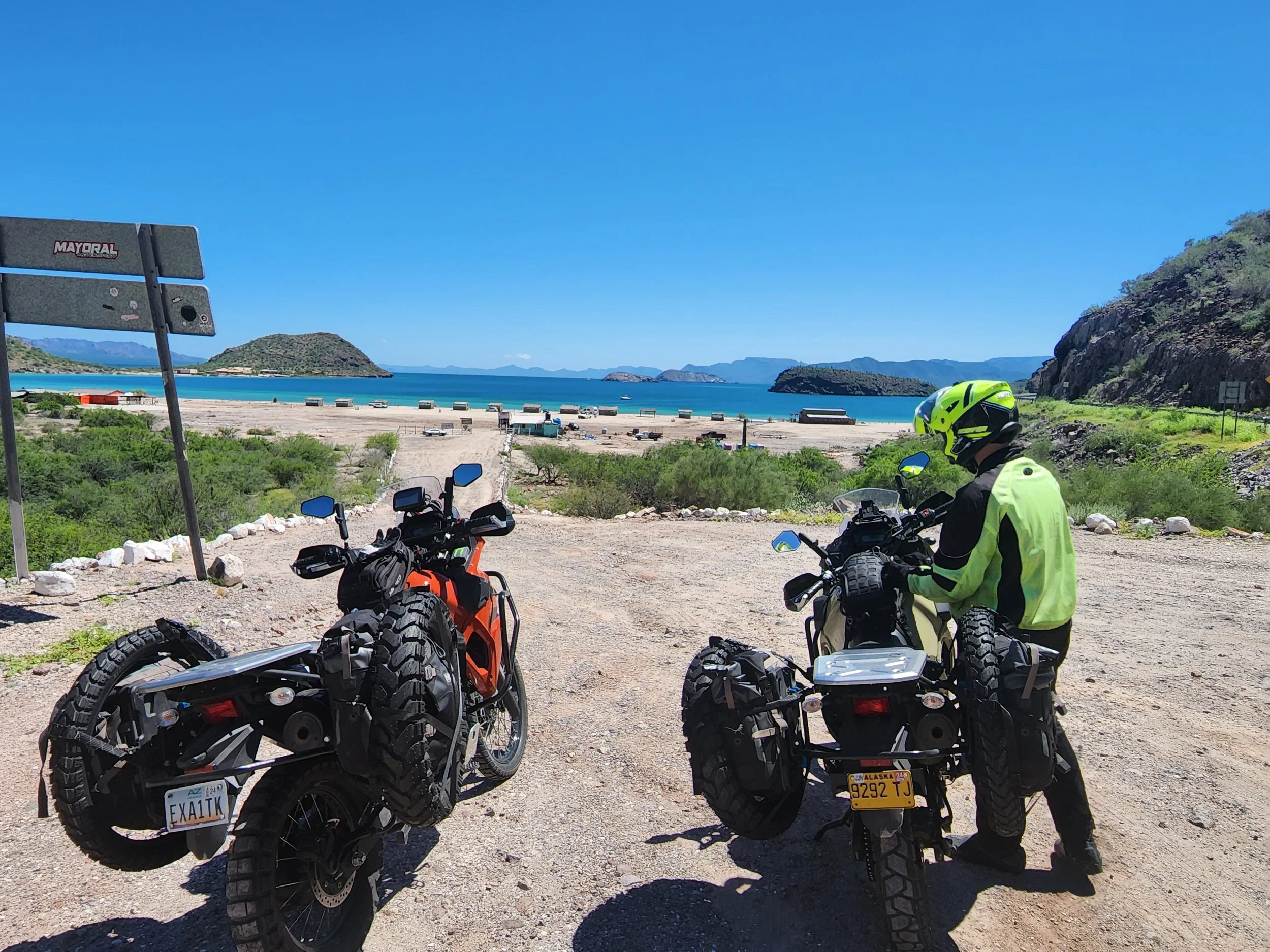
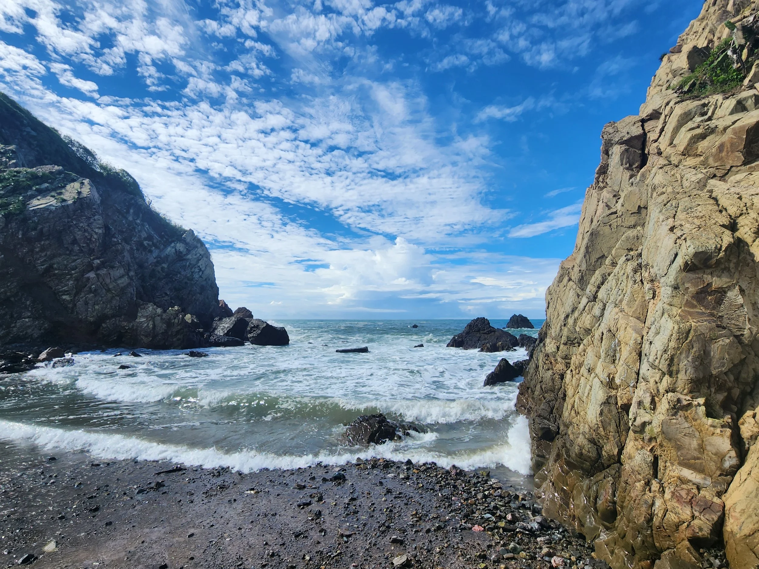
A bay we stopped at on the way from Guerrero Negro to Loreto. Time to get off the bike, give the butt a rest and have a drink of water. Each of us has 1 liter of water in the bag strapped to our gas tank. We can drink from a hose in it with a bite valve. The water in the hose is pretty warm, but the water in the bladder stays nice and cool.

Same Bay

We arrived!

Both of us.

Looking up the street our hotel was on toward the water in Loreto.

The main street in Loreto along the beach. Well, there is a beach, just on the other side of the marina behind where this picture was taken from.

Speaks for it's self.

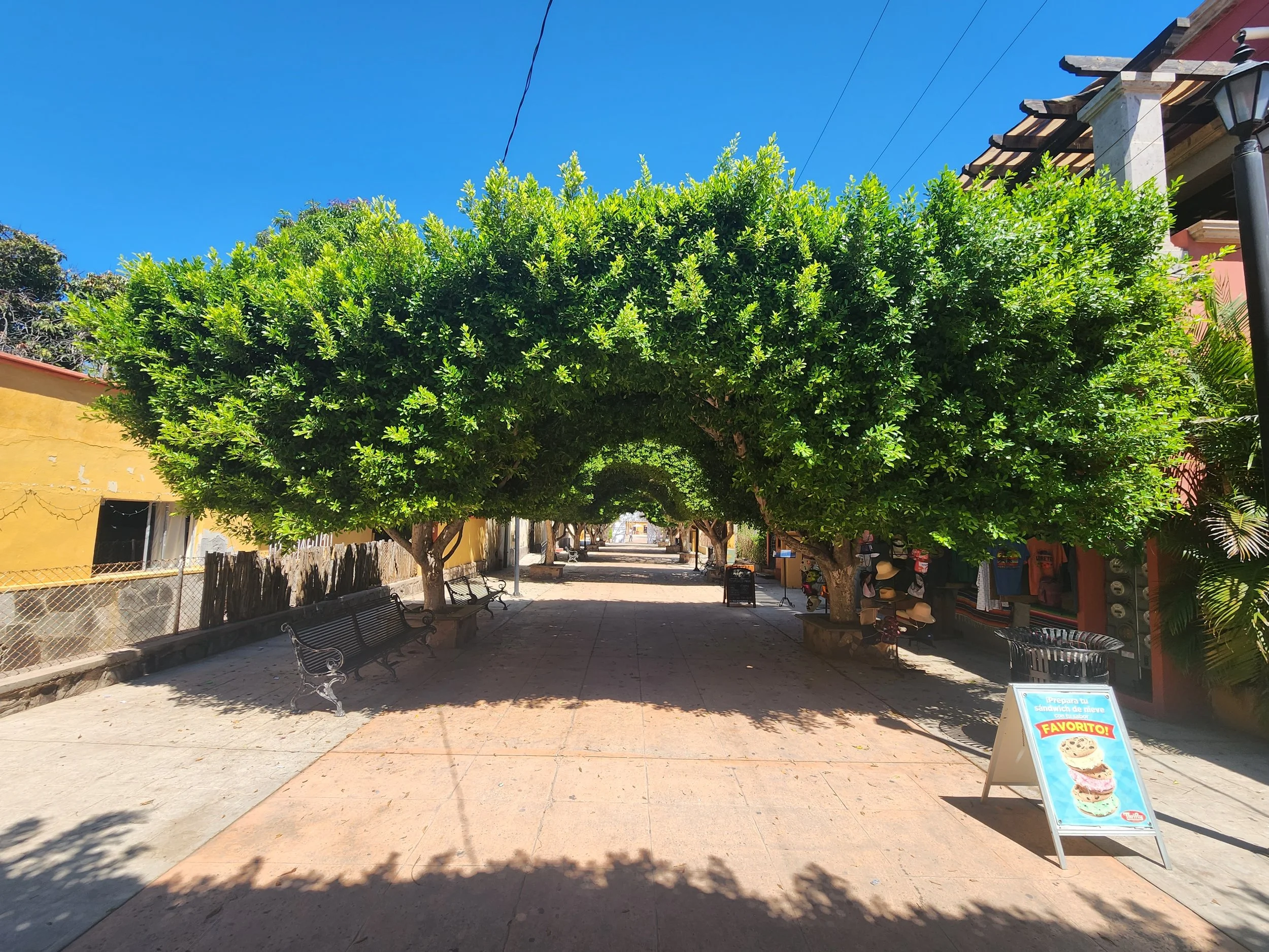
A pedestrian shopping street. Most everything was closed since we were in Loreto for Mexican Independence Day. No that is not May 5th.
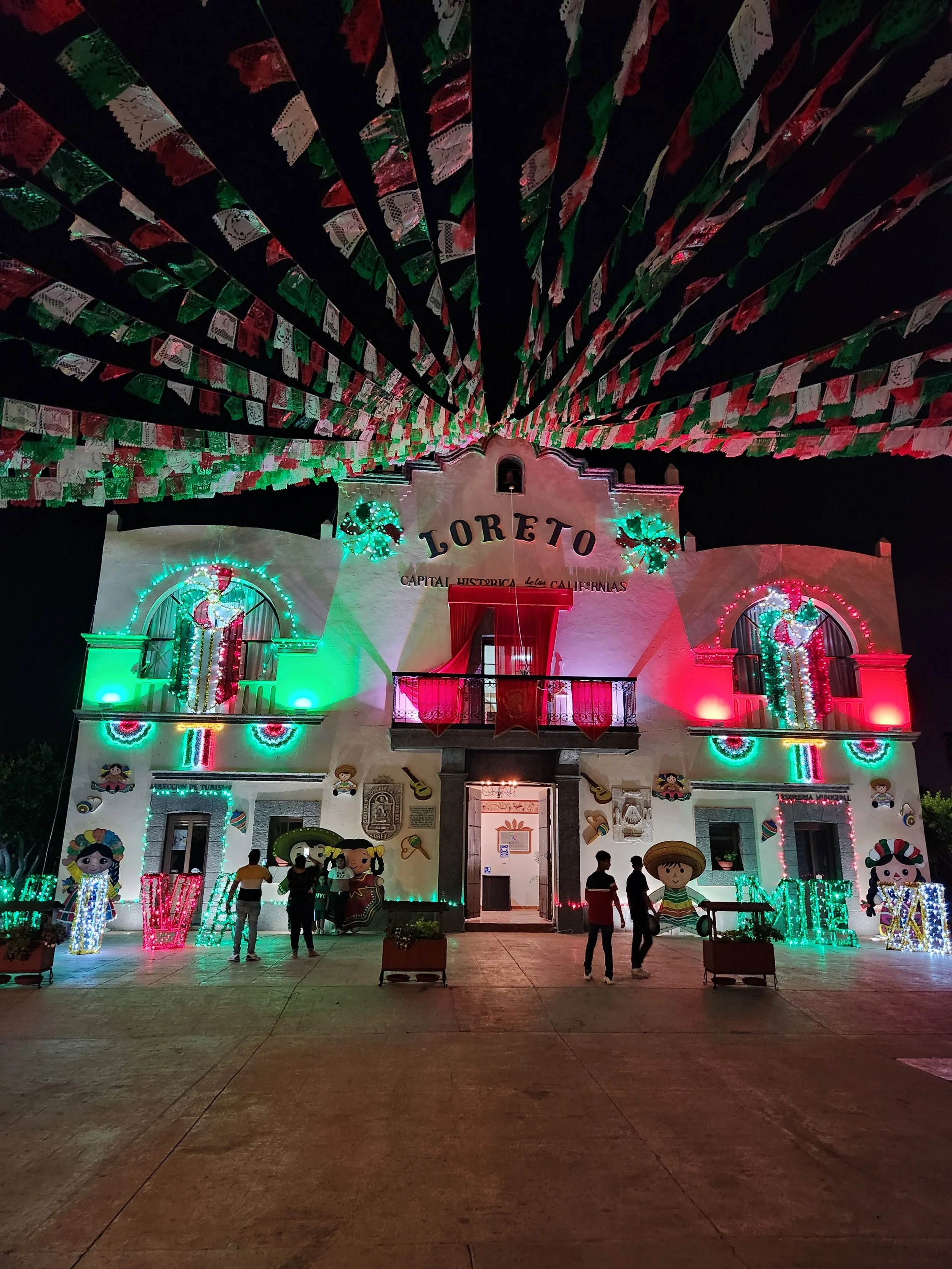
Town square all lit up for Independence Day.

Just south of the actual town on the ride to La Paz.
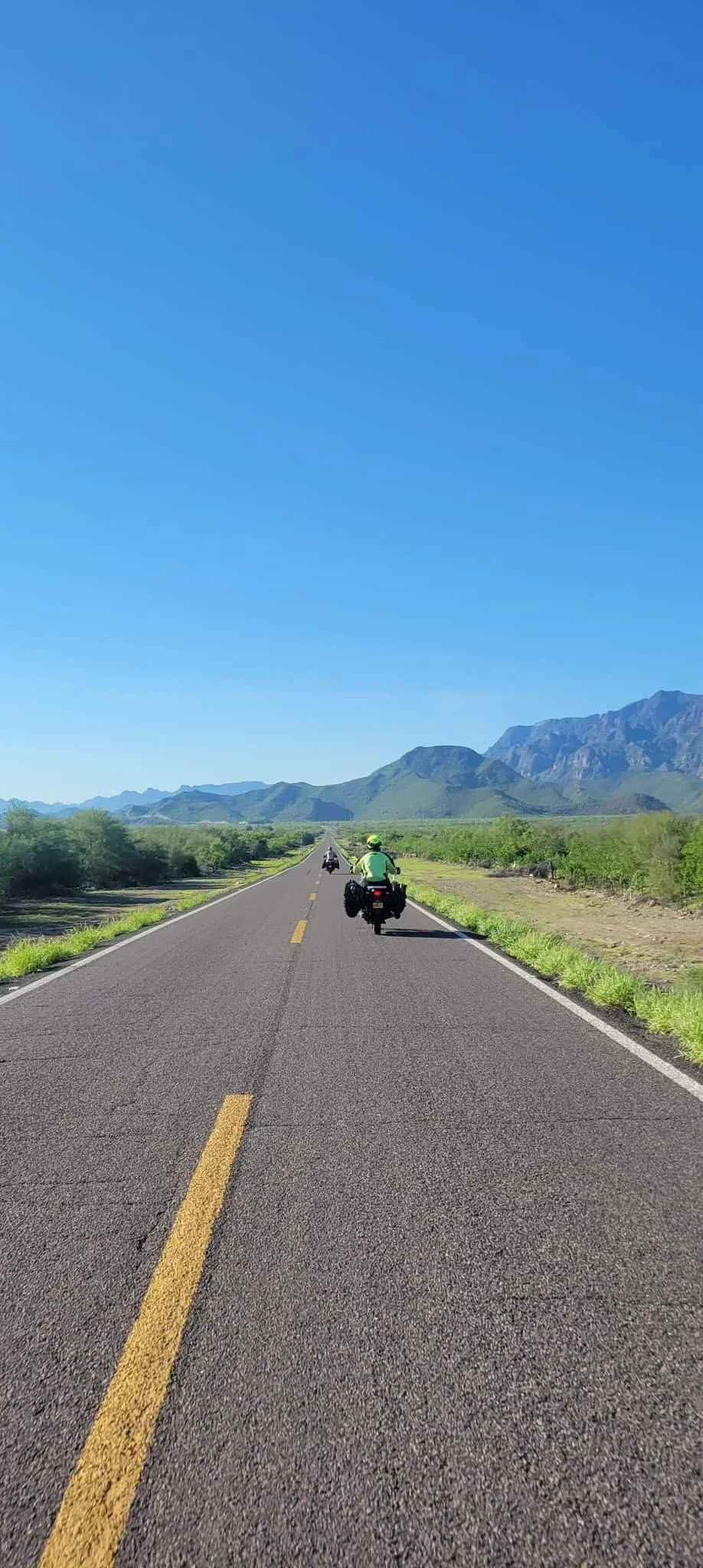
Pictures taken by Serge as we rode down to La Paz
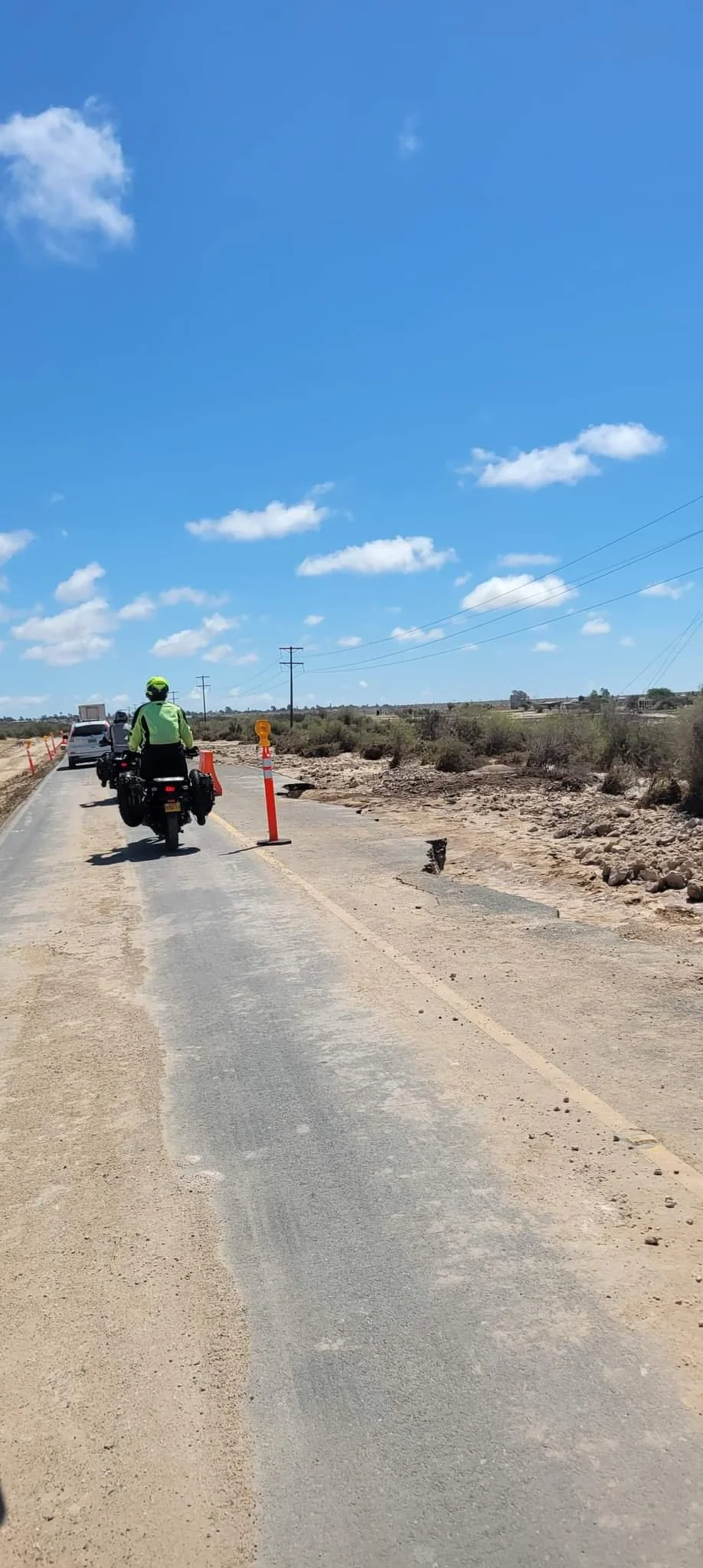
Some of the road conditions we've found so far on the Baja. Hurricane Kay really did a number on the roads the whole way down.
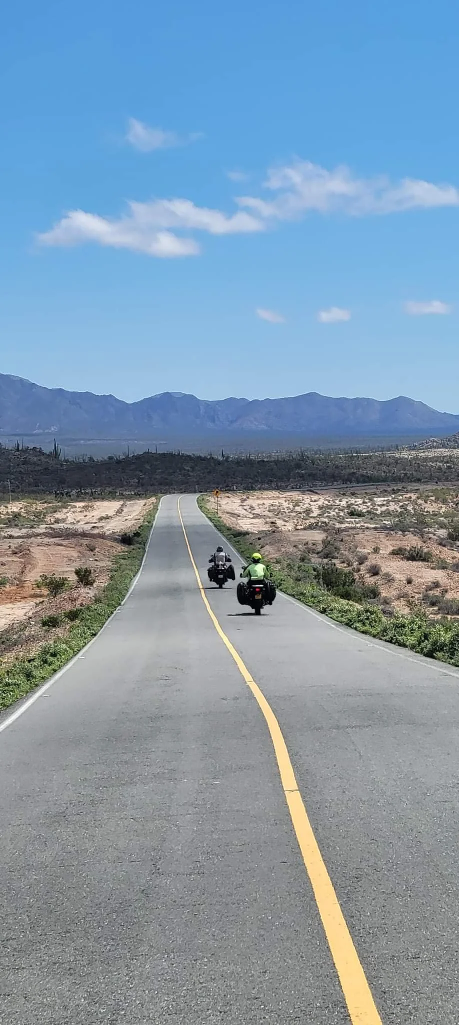
On the way to La Paz

The border between north (Baja California) and south (Baja Sur) Baja. Once in Baja Sur you switch from Pacific to Mountain time.
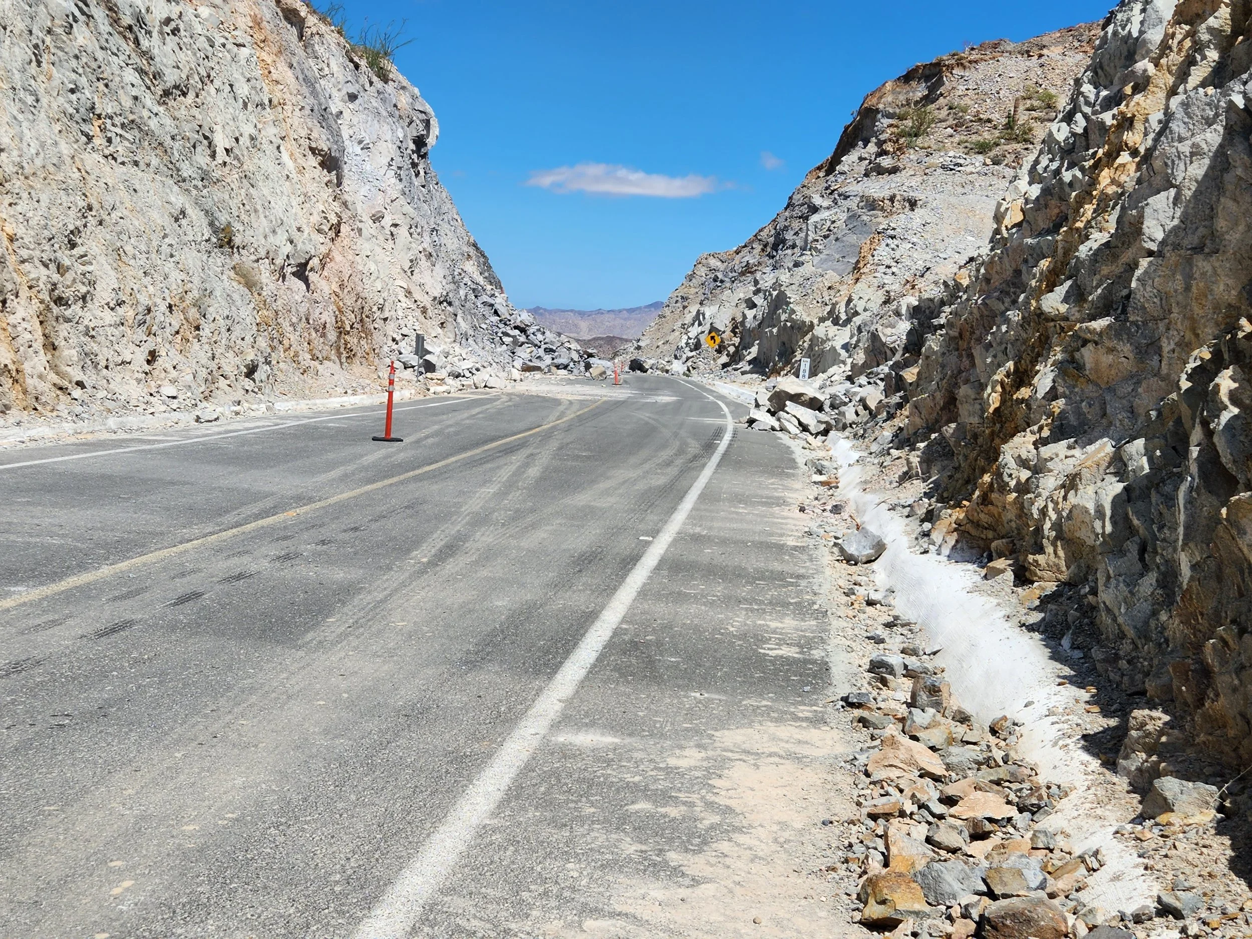
Highway 5 rock slides.

Remnants of hurricane Kay on Highway 5. The section of highway 5 through the mountains toward Chapala had many sections of rock slides like this.

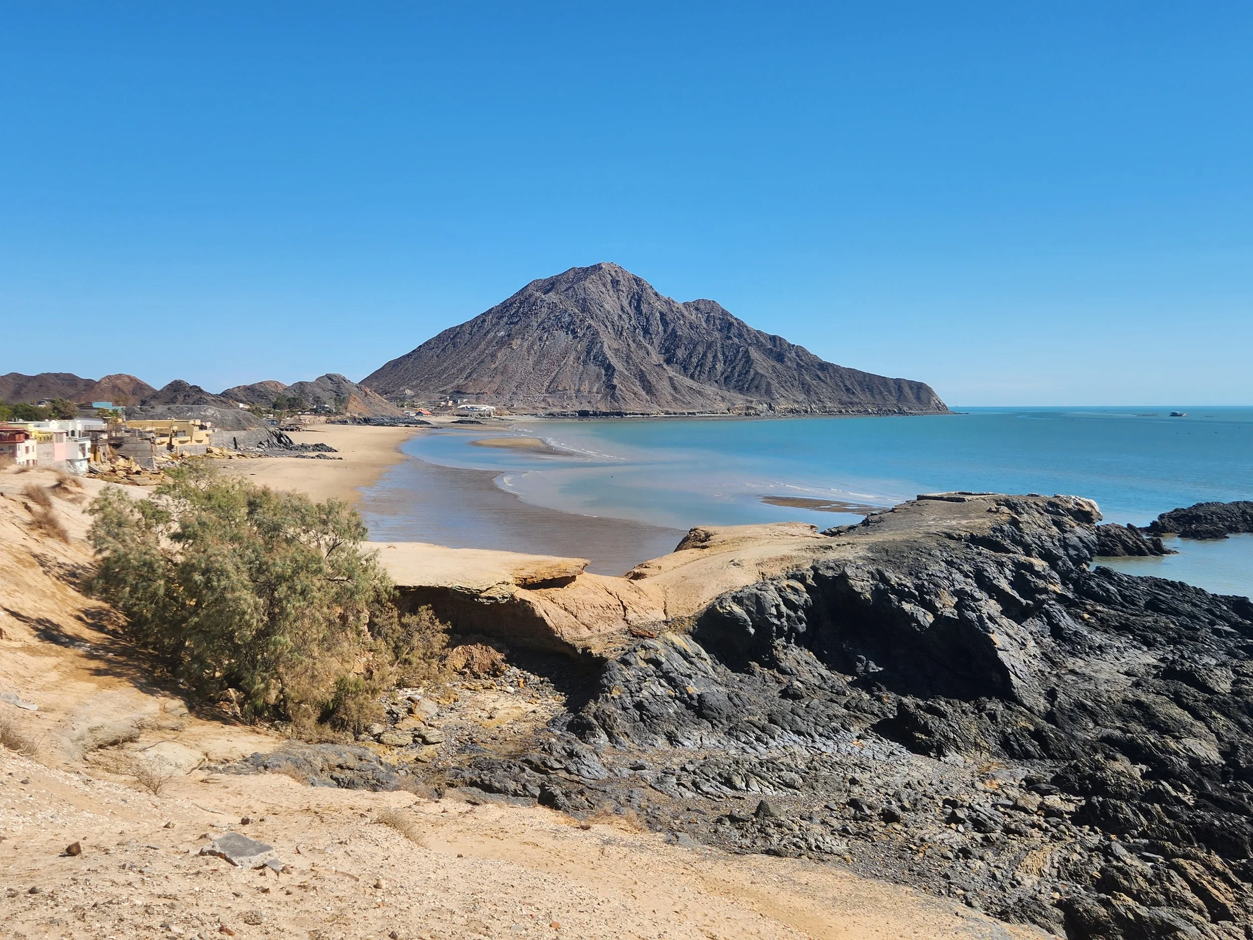
Gulf of California near Puertecitos, Baja California.

Serge, Neil and the Gulf of California on the way down Highway 5 south of San Felipe.

The San Felipe lighthouse.

Sunrise in San Felipe bay.

The view south along the bay from San Felipe.
Looking north from the San Felipe lighthouse.

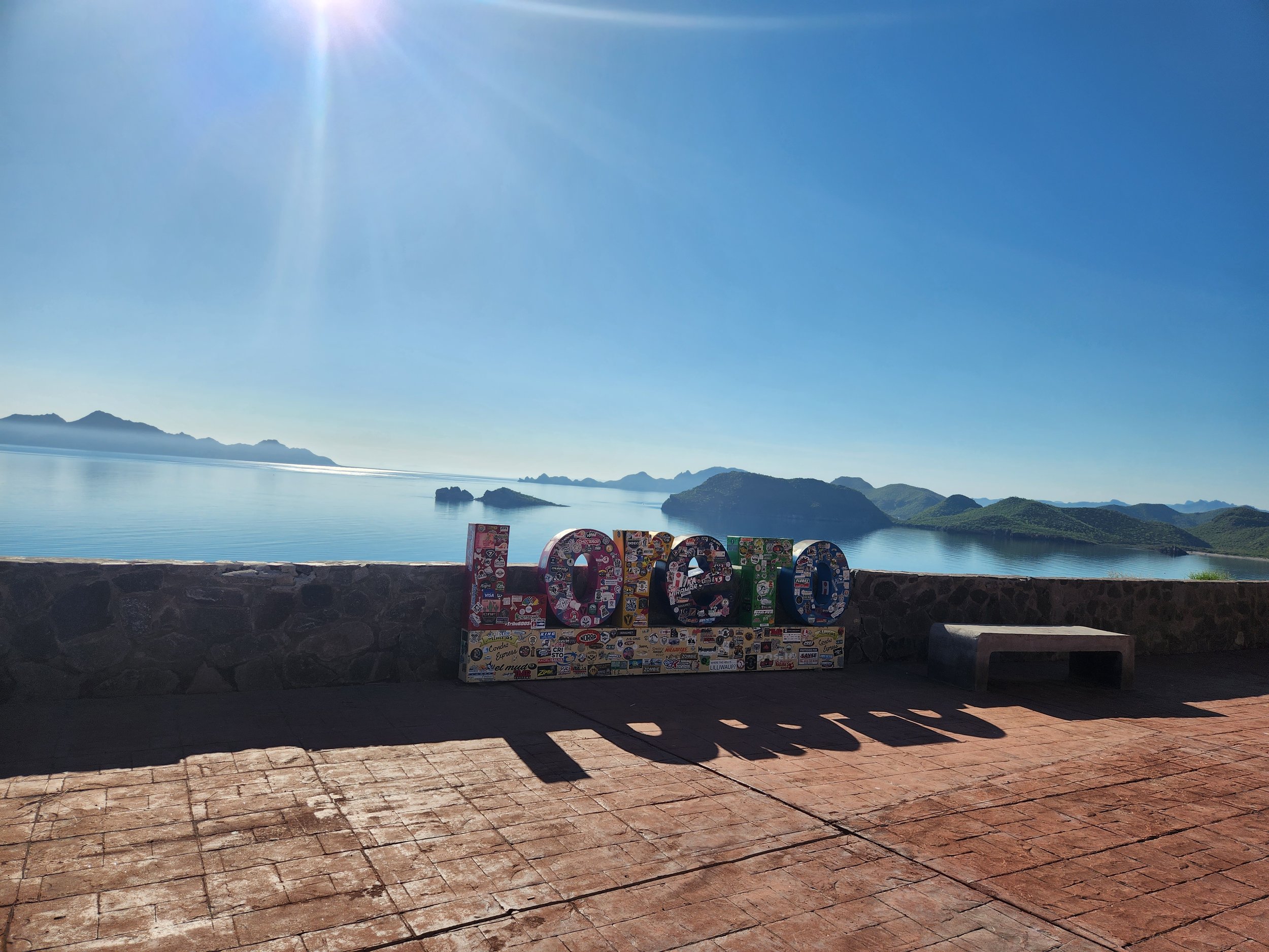
The name of the town on big concrete blocks seems to be the norm in Mexico. I've seen this all over.

Tying down bikes on the ferry from La Paz to Topolobampo. There were 5 riders total on the ship. A pair of Mexican guys on a Harley and an Indian, Neil and I and then Bob who is on the little Yamaha in the foreground. I had messaged Bob several months ago on a biker website when he mentioned he was traveling in the same area and around the same time we thought we would be. It was fun to run into him out of the Blue and chat for a while with him on the ferry ride.

The town of Topolobampo the morning after our arrival on the Mexican mainland.

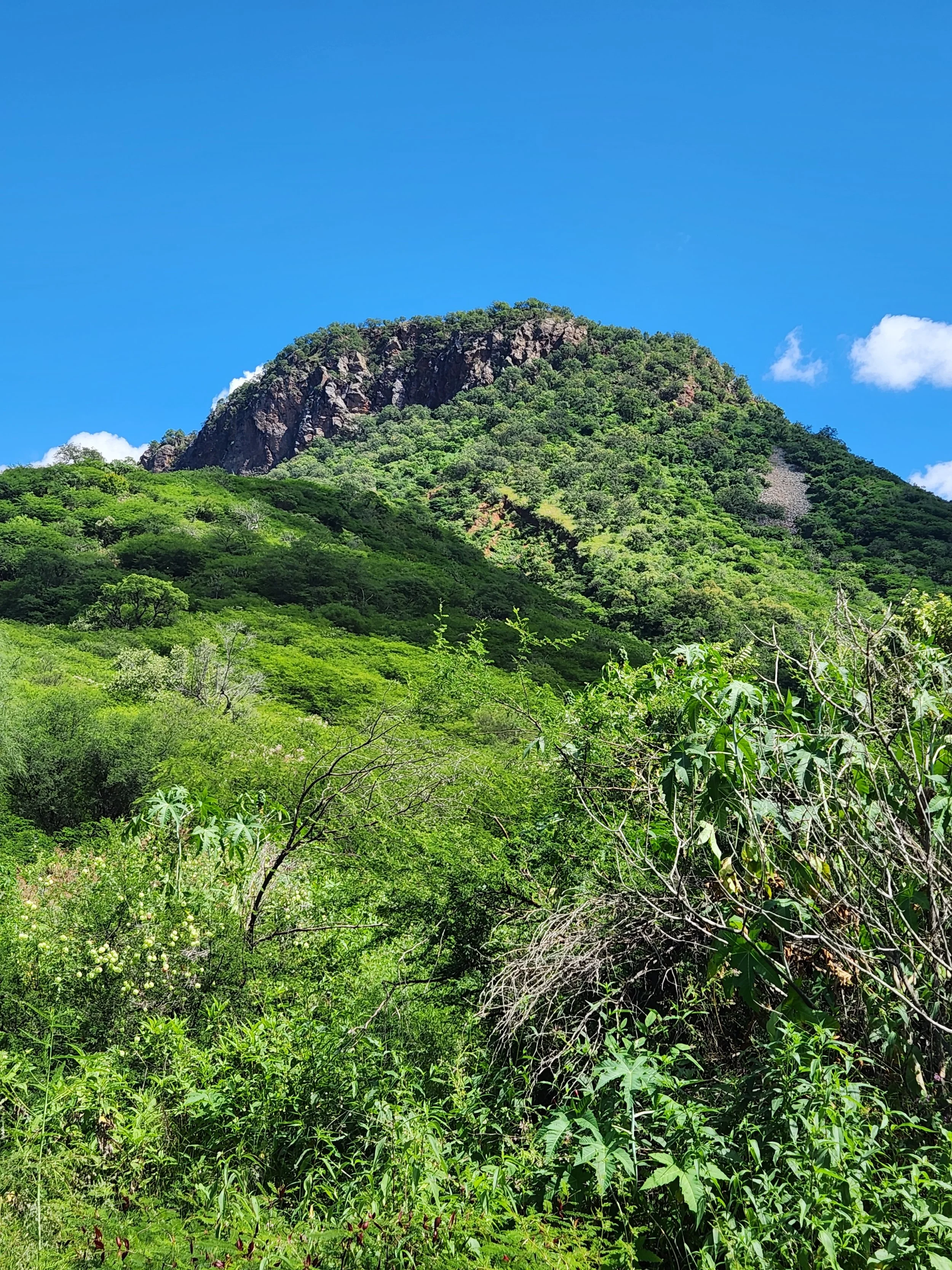
Beautiful country on the road to Yecora.

Starting to climb into the Sierra Madre Mountains.

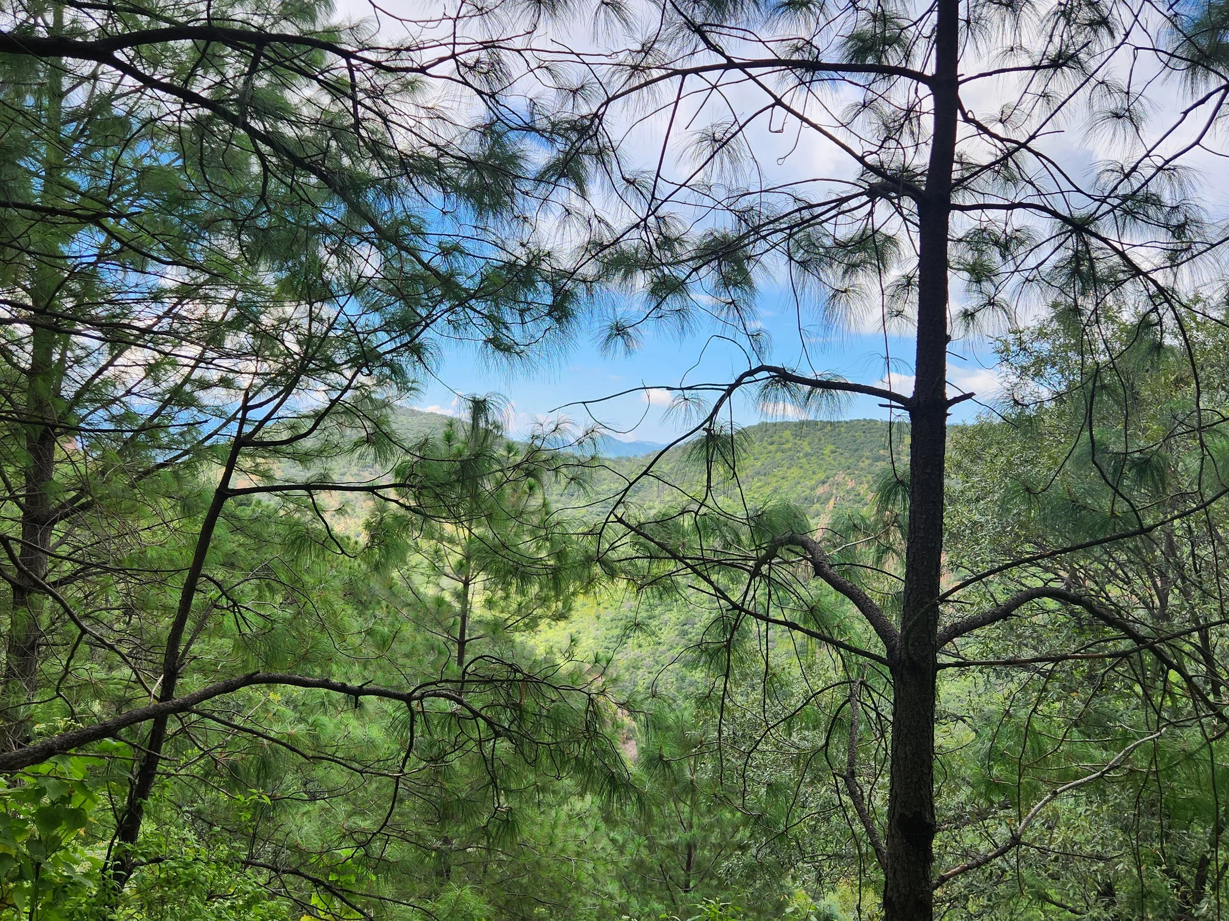
Neil climbing up to get a picture out over the trees on a roadside picture stop.

On the way in to Yecora.


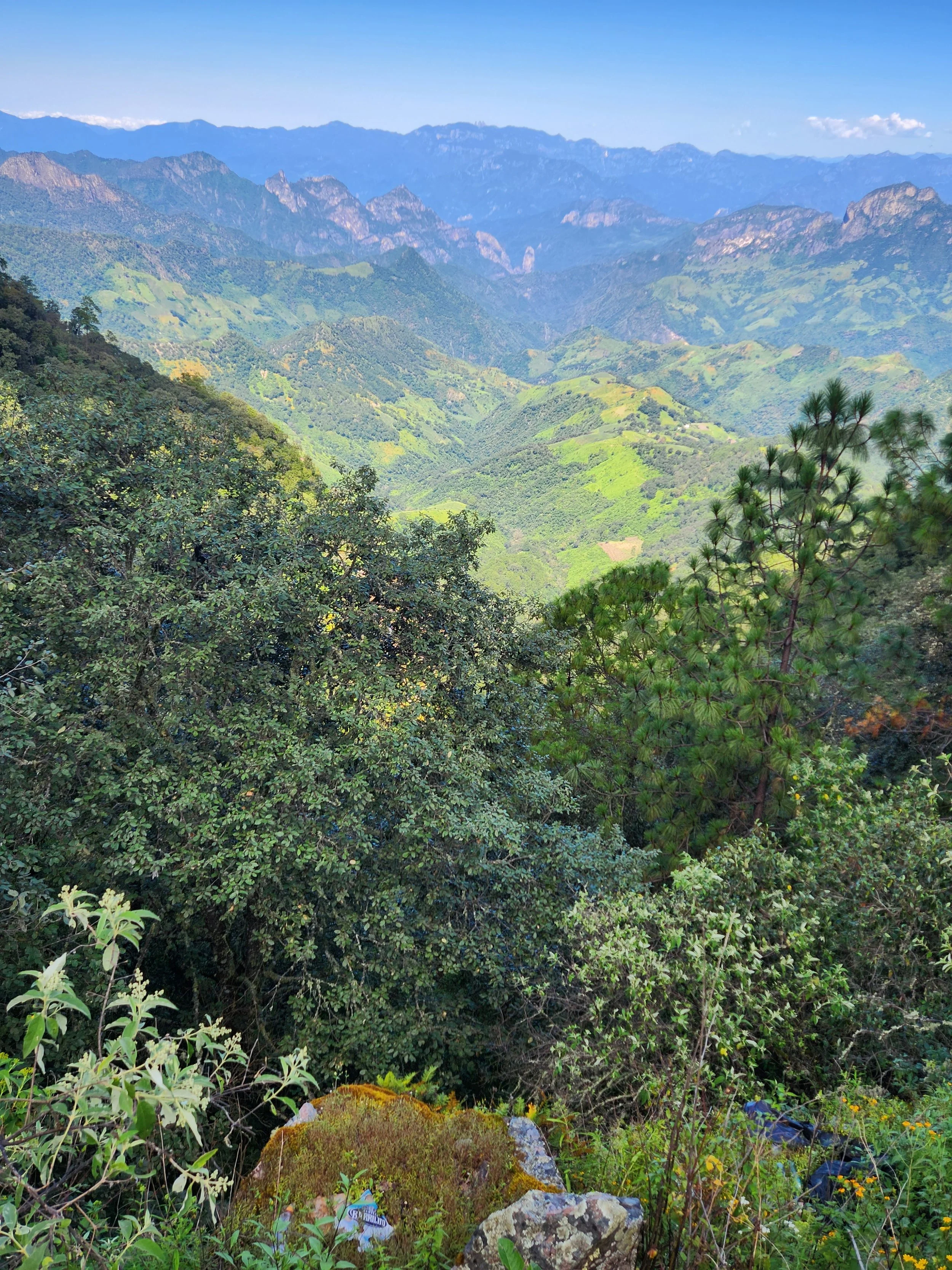
This was a very windy and narrow section of road. Just time to stop and take a break for a minute and soak up the scenery.


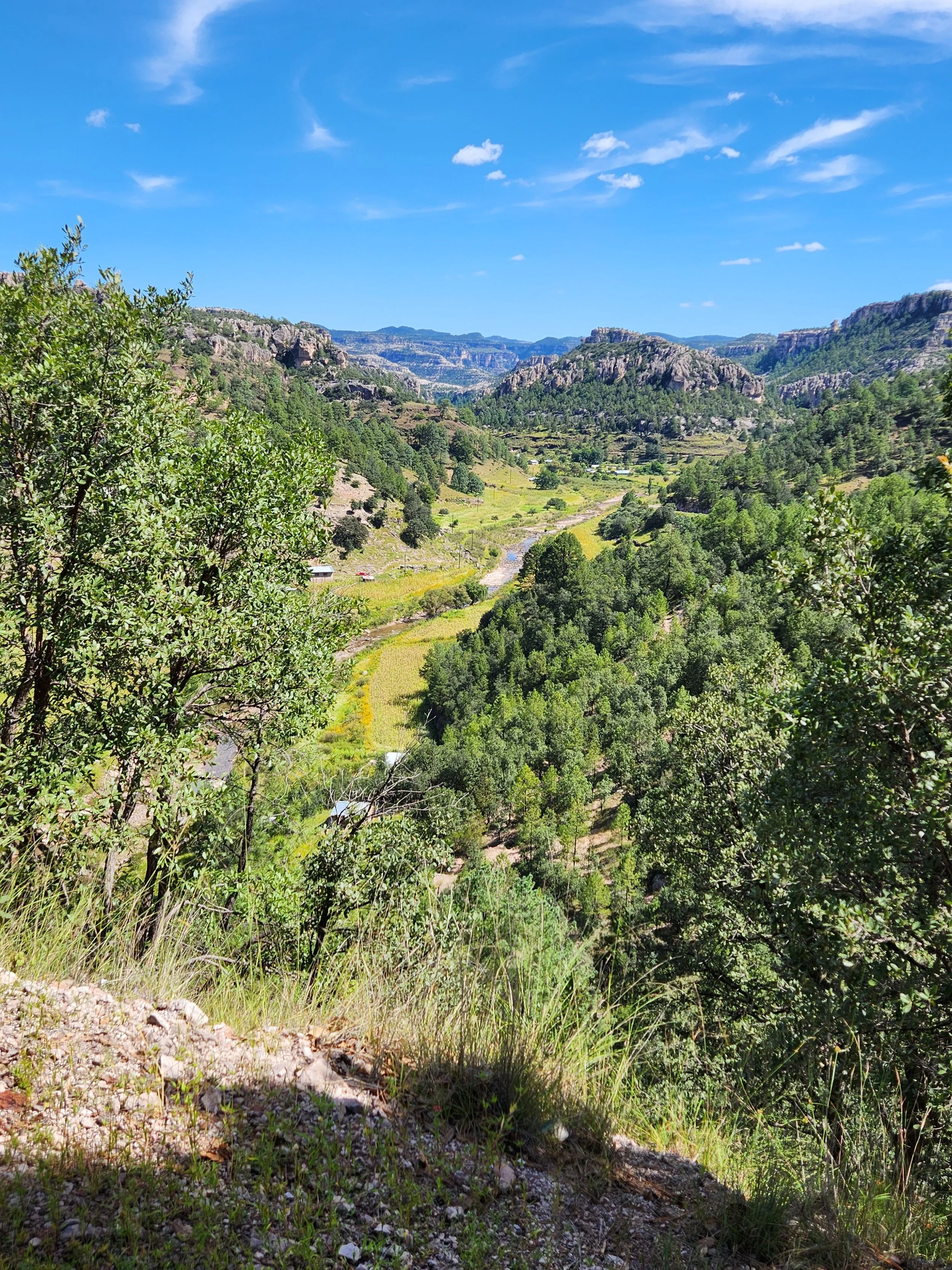
Starting to get a feel of what Copper Canyon might look like, but we are still a hundred miles or so away from it here.


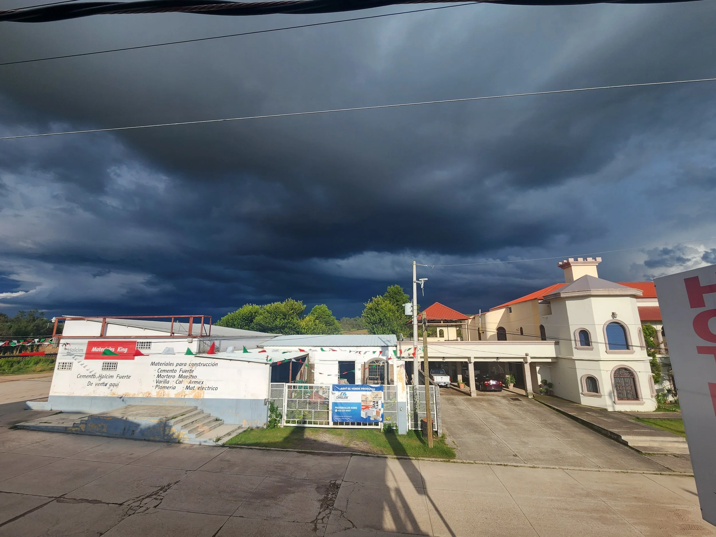
Thunder storm rolling in from our hotel porch at the King Hotel in Yecora.

It's hard to tell from this picture but this may have been the hardest rain I've ever seen.
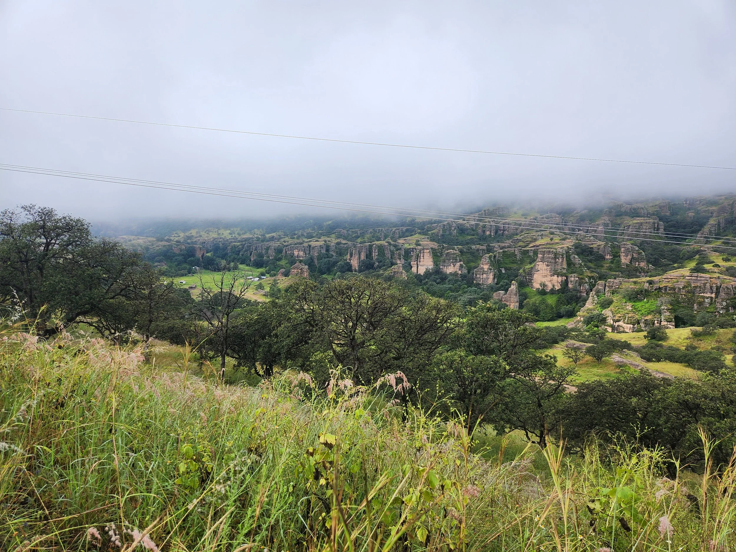
Leaving Yacora though the fog on the climb to Creel.
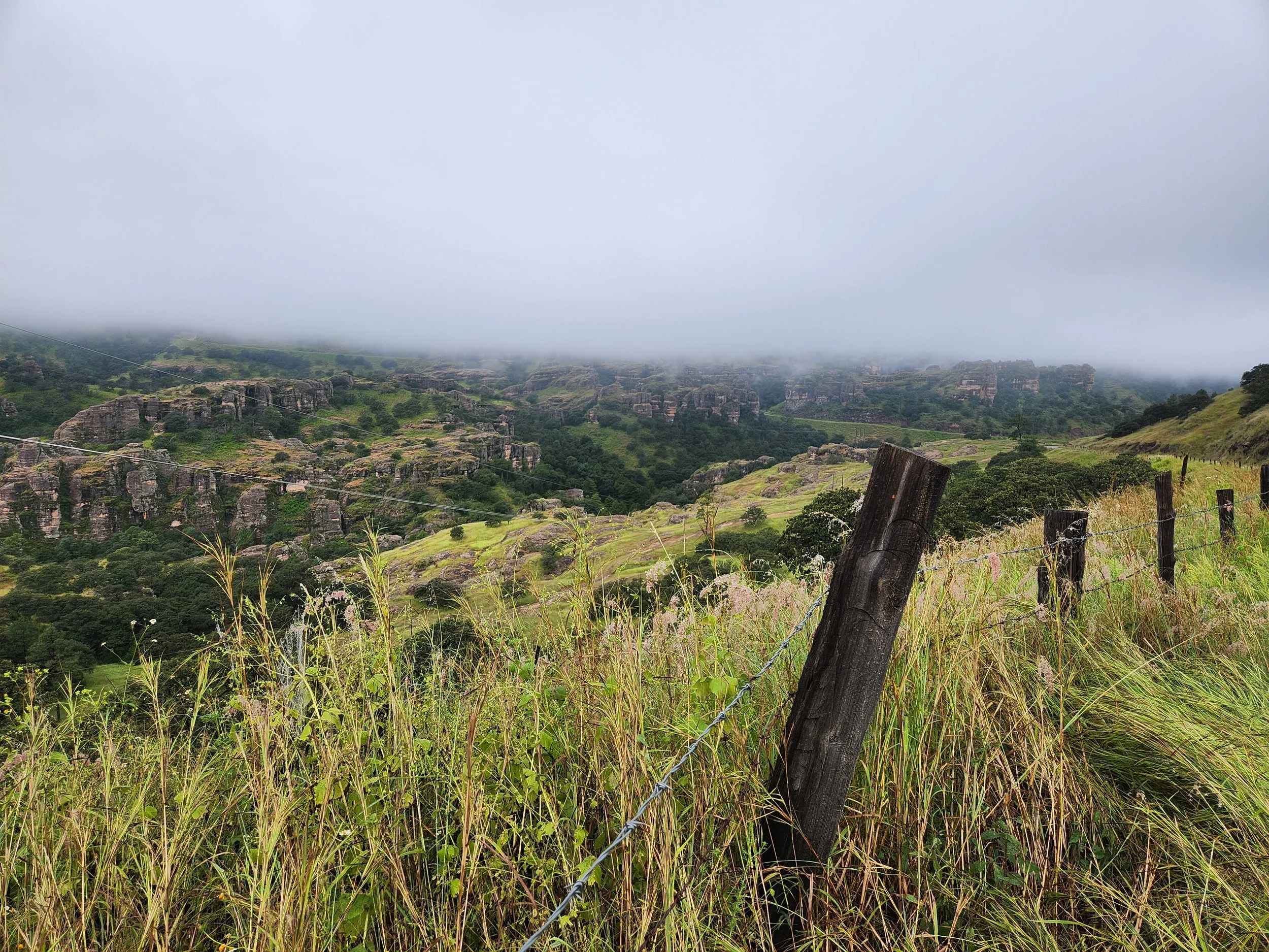

What passes for a roadside pull off on the road to Creel


Downtown Creel. The jumping off point for our ride down to the bottom of Copper Canyon and the town of Batopilas the next day.


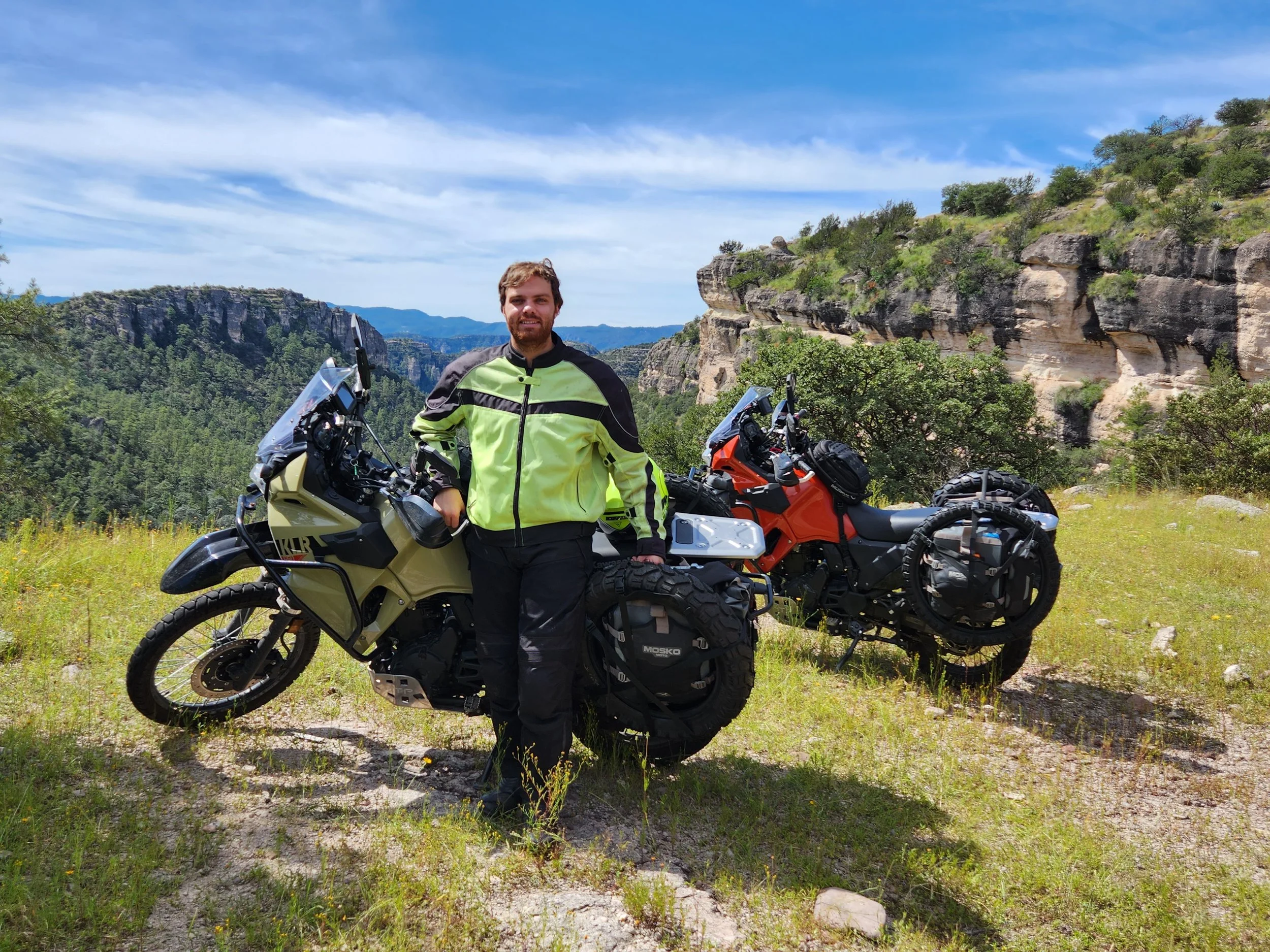
Neil on the canyon rim.
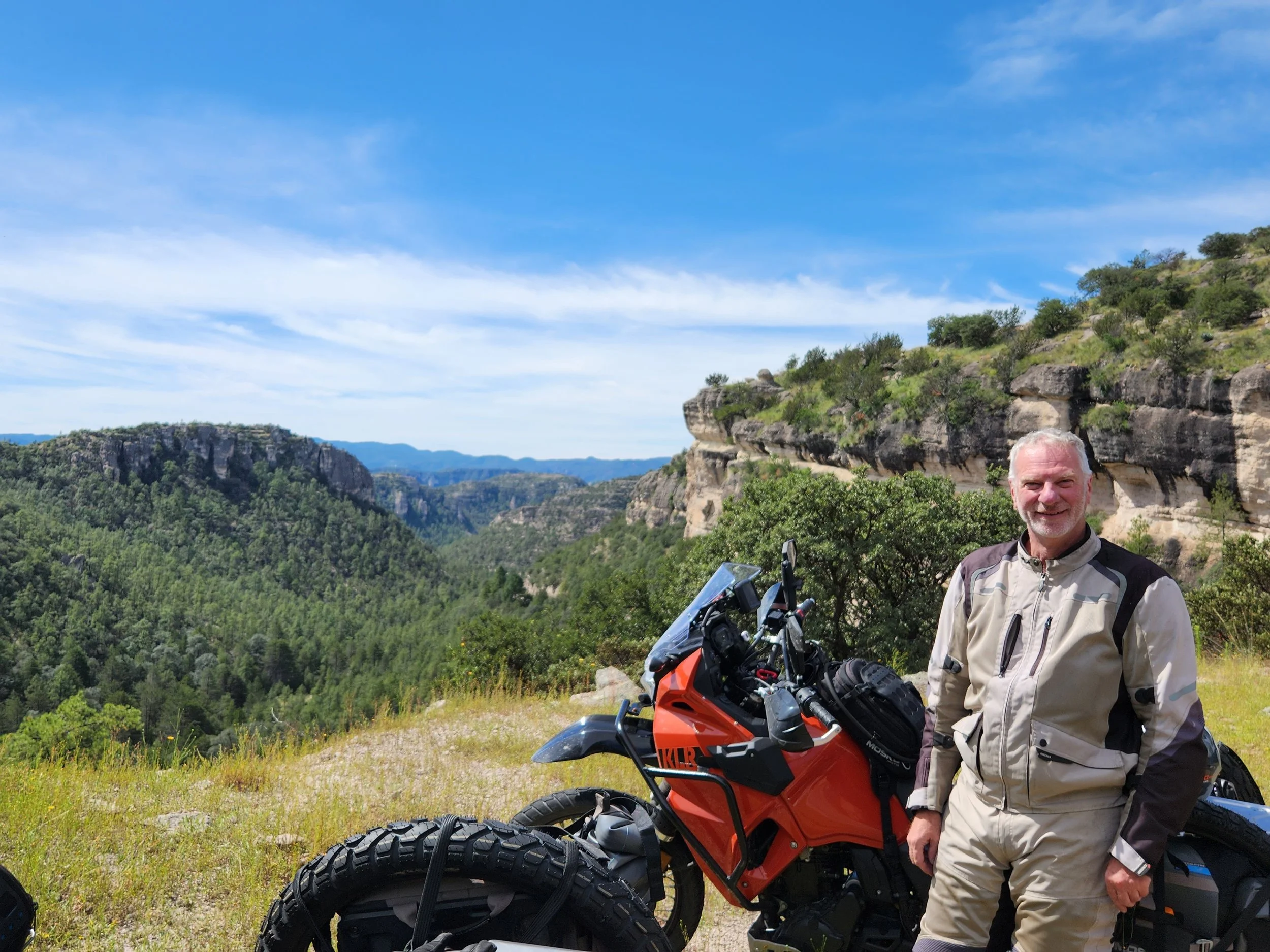
Me on the canyon rim.

Time to start the descent.


Some "traffic" coming up behind us while we stopped for a rest.

She just threw rocks on the side of the flock to guide them where she wanted. It was interesting to watch her shepherd the goats to a place to graze.


Some of the switchbacks on the way down. It was in this section where the washout I describe in my update was located.


Neil going around one of the obstacles we encountered on the way into Batopilas.

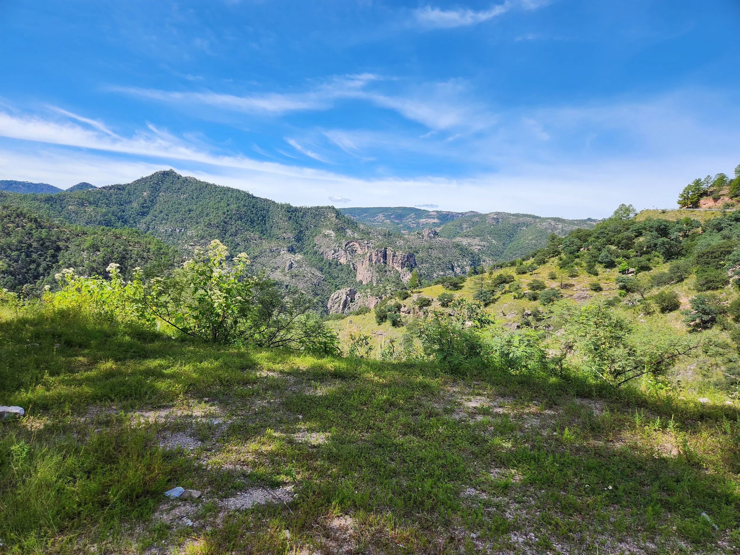
Absolutely beautiful country down in the canyon.

And we made it!!
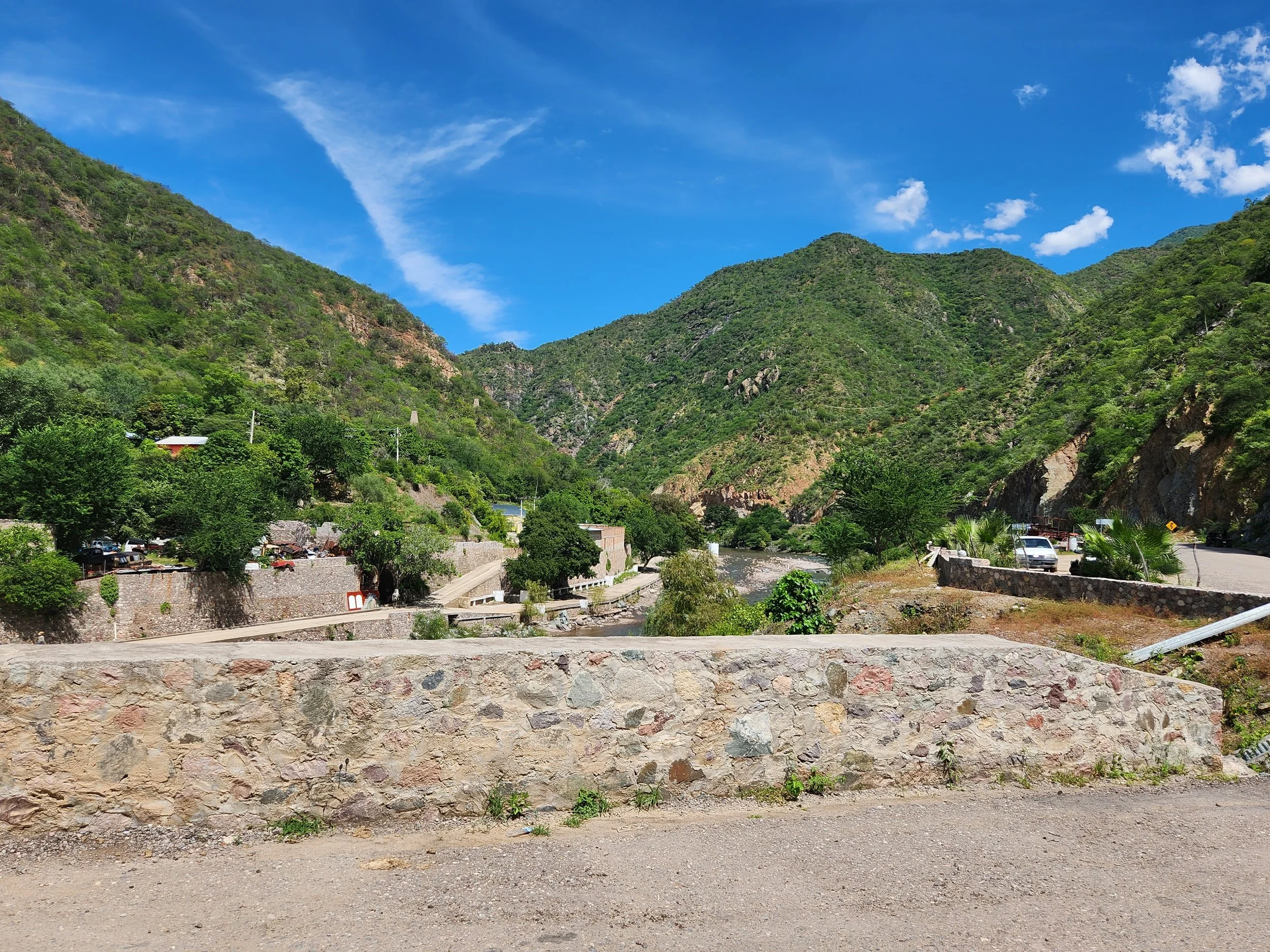
The entrance to the town of Batopilas as we cross the bridge.
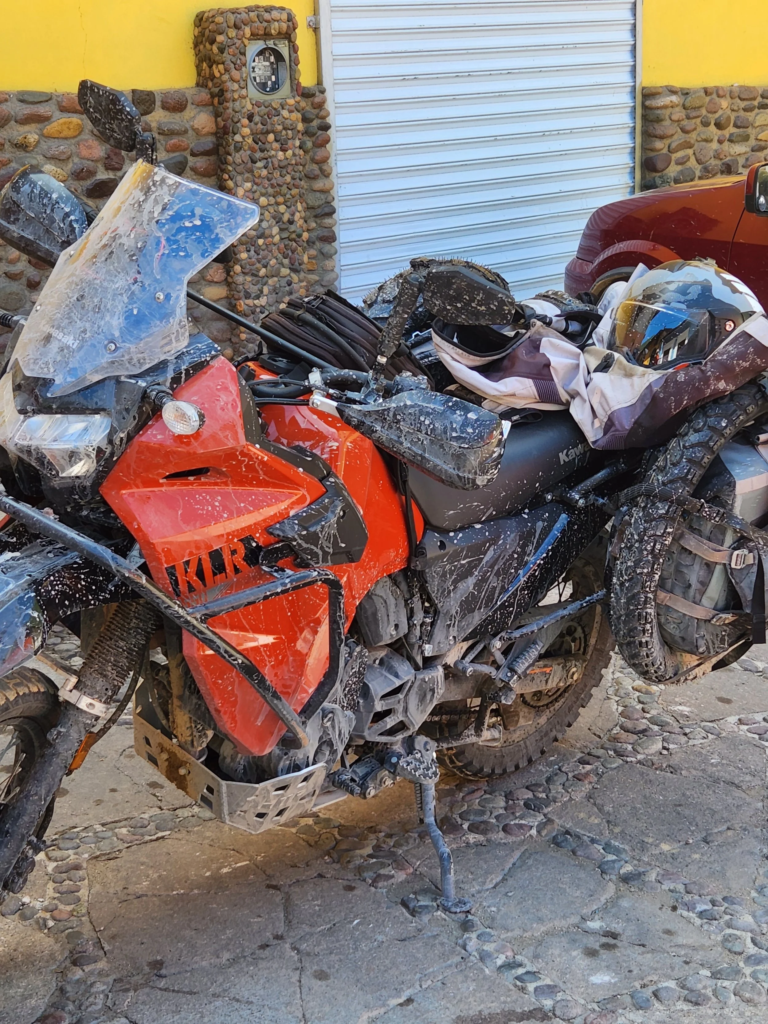
The aftermath of me fording the mud puddle on the way into Batopilas.

All the buildings on the main street were painted these pastel colors. It's really a pretty little town.

The town hall and police station on the town square.

More of Bato.
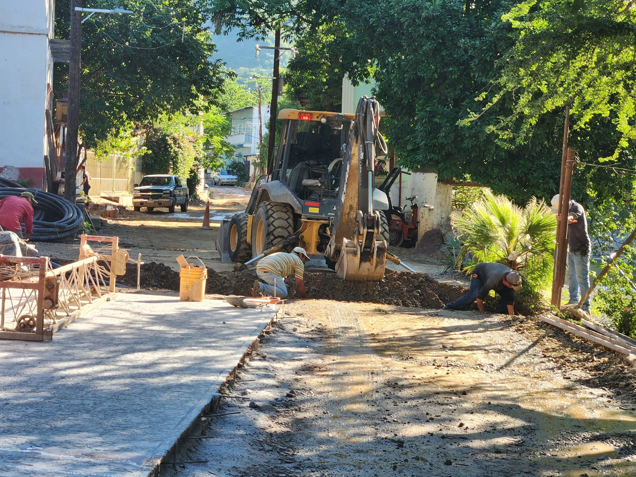
While trying to leave town we ran into the construction crew putting a new pipe of some sort. The had the ditch dug across the one and only road in and out of town. So we had to wait for them to bury the pipe and tamp down the dirt before we could start the climb out.

Up we go.
Different views but just has pretty on the way out.

A foot bridge across the river to reach one of the tiny settlements along the canyon floor.

Our trucker friend syphoning the gas out of Neil's tank into the coke bottle.

Neil, getting ready to try and start the rig as the driver squirts gas into the air intake.

And it roars back to life! 😄

Tire changing time in the parking lot of our hotel in Durango. Much thanks to Bob whom we met on the La Paz ferry for giving us instruction and help in this task! We will get more practice as we have three more tires to switch out while we visit friends in Ajijic.
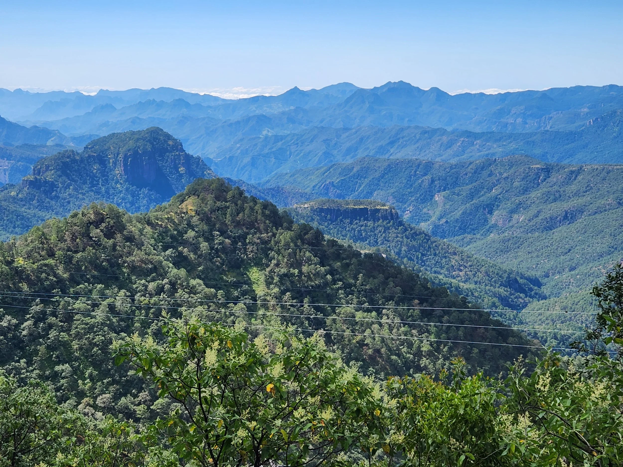
The view from the old highway 40 between Durango and Mazatlan.

More Hwy 40

Still Hwy 40

This was a very slow but scenic detour around one of the toll plazas between Durango and Mazatlan.

Highway 40 begins just across the boarder from McAllan Texas and goes from there to Mazatlan. The old road was built in the 1940s. The new toll road was completed and opened in 2012.
Last Hwy 40 pic.

Our bit of luxury in Puerto Vallarta for 3 nights.
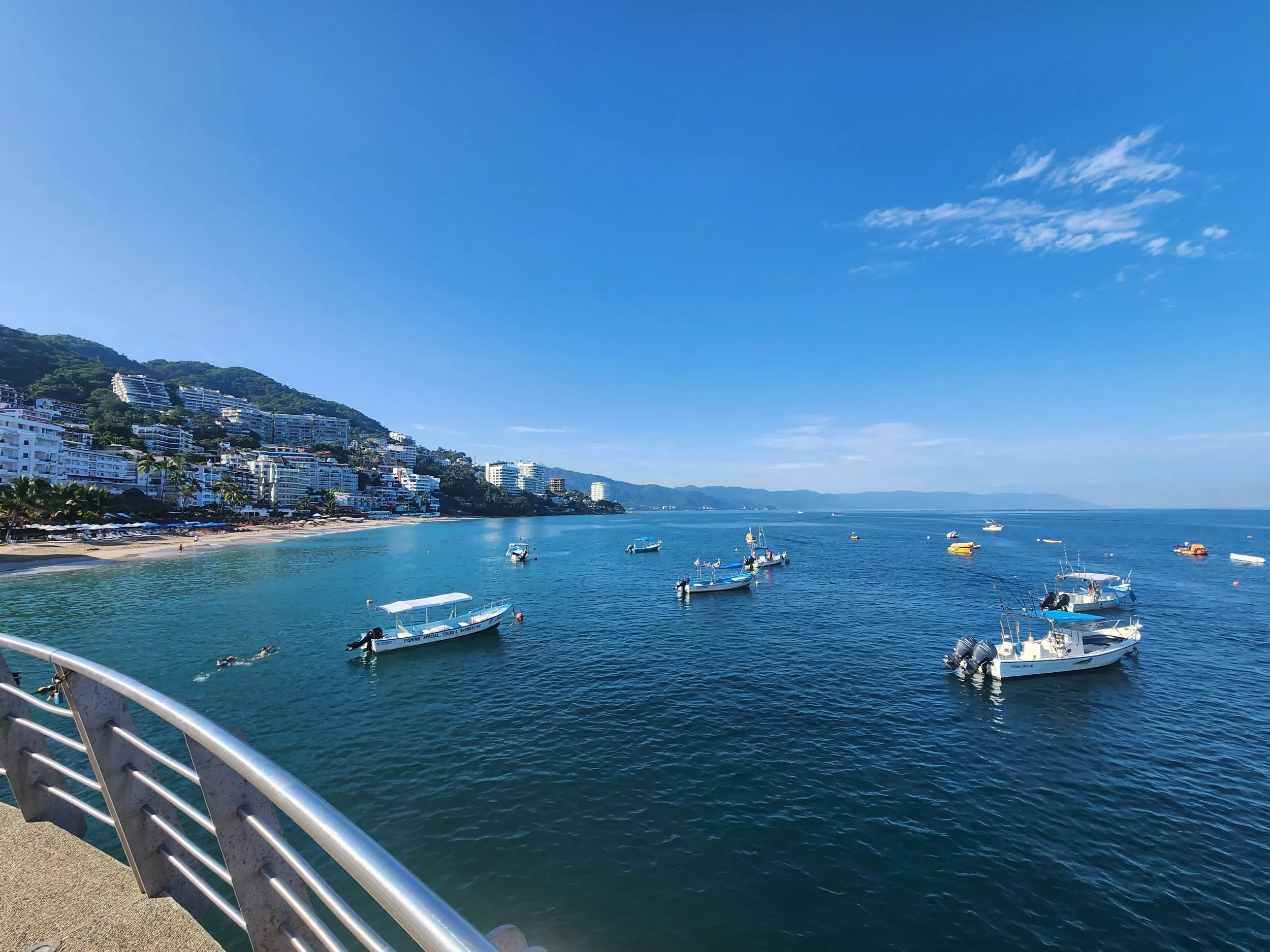
The view from the Puerta Vallarta Malacon (beach walk).
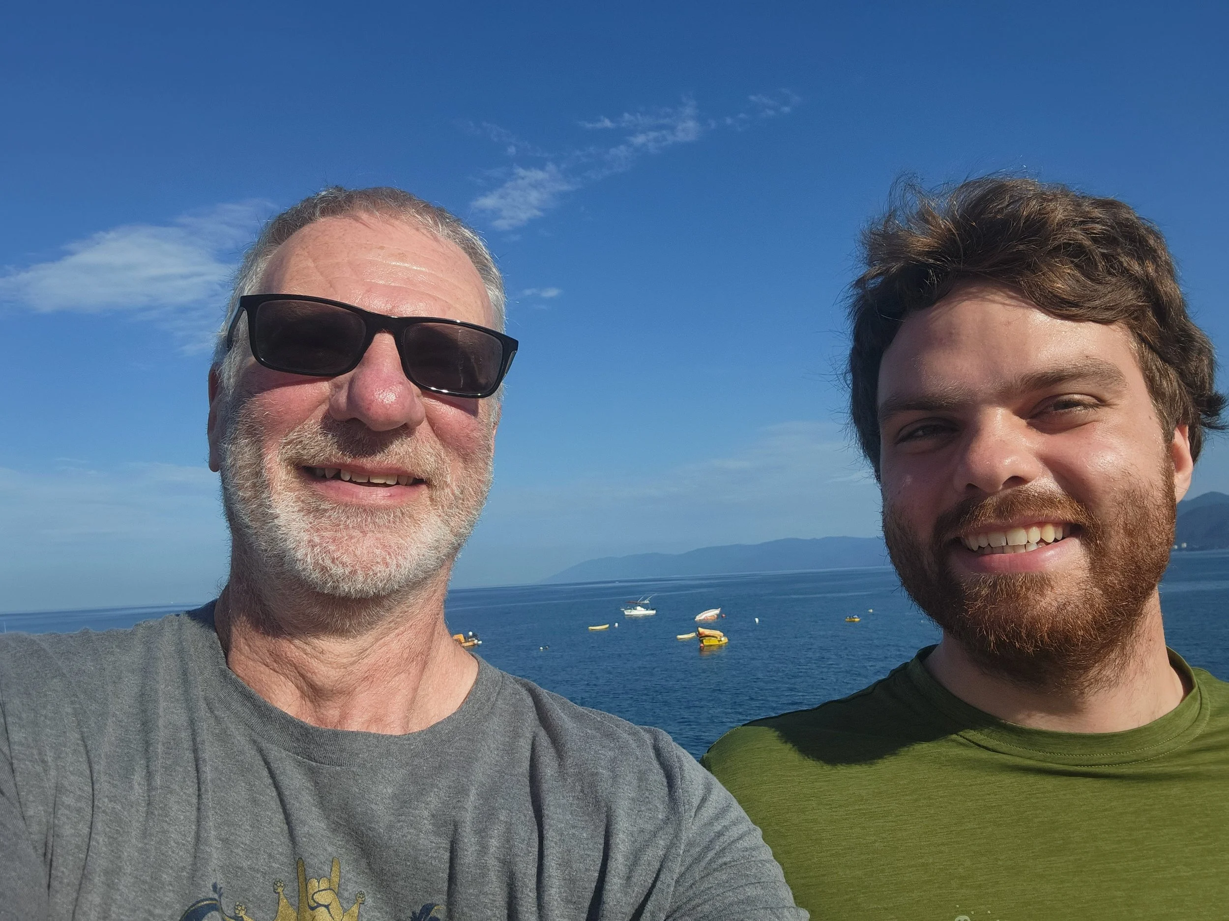
On the Malacon

It seems that every town of any size has one of these signs. Had to get PV's.
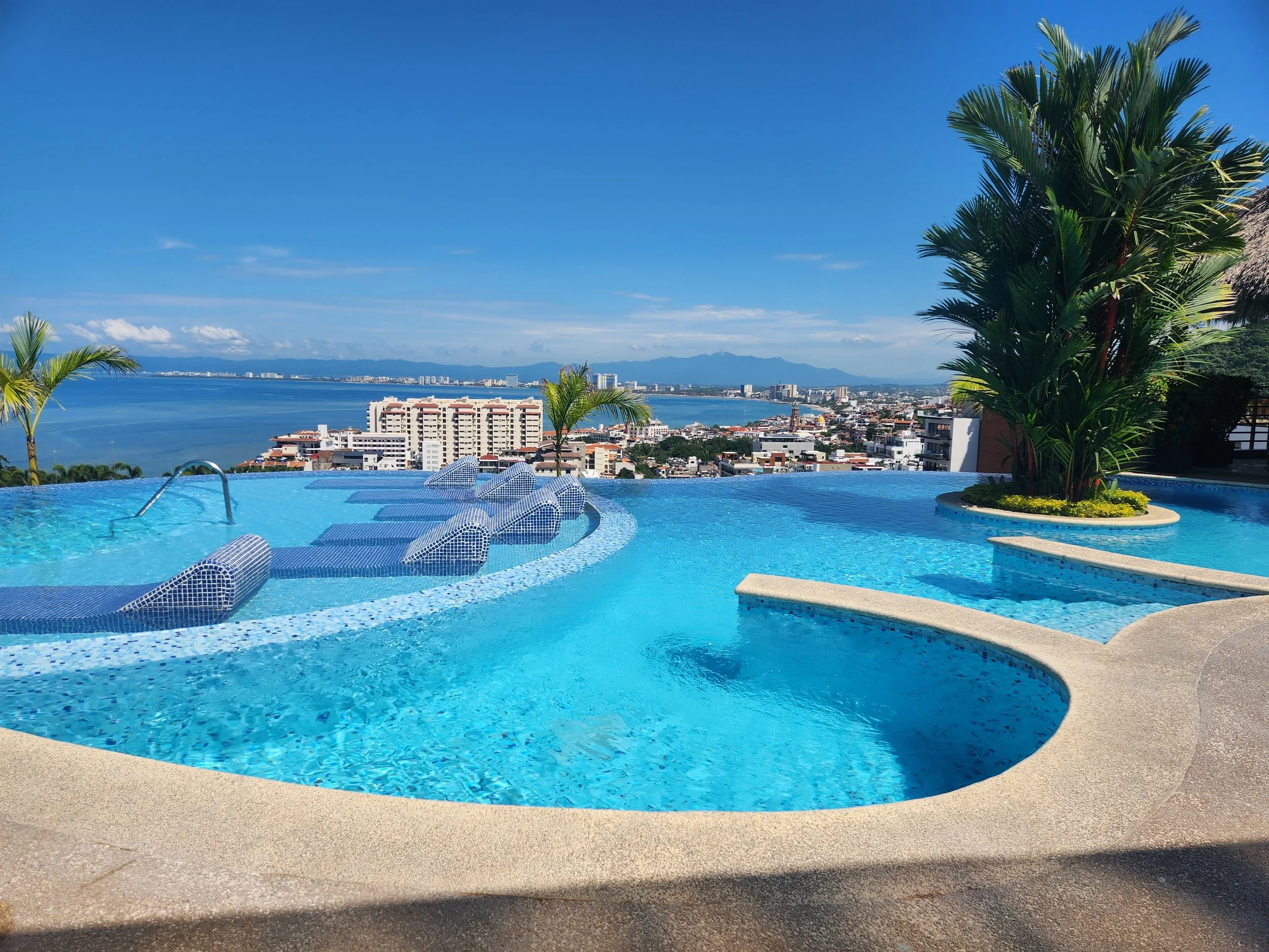
The view from the rooftop pool of our Puerto Vallarta hotel.

Our view for two days from the hotel in San Patricio/Melaque.

No real winds as we were on the very outer bands of the hurricane, but two days of pretty much constant rain when we first arrived.

The bay at San Patricio today (10/4) on a much nicer day.

And Melaque's town sign


The start of the repair of my flat as we arrived in Ajijic. At least we got the wheel off before the rain started.

Getting ready to start the change process.

We were able to get the old tire off pretty easily. This is the start of that process.

My shelter during the storm. Unfortunately Neil was off taking my wheel to the tire shop to see about getting the new tire mounted. The owners of the stand were very nice and let me pull everything under the awning to keep things dry.

This is after the flat repair. This is in our friends driveway starting to do Neil's front tire. In the end we just took them to the shop to be done by the pros. LOL

After all the time on the road and all the tire changes it was time to give the bikes a wash.
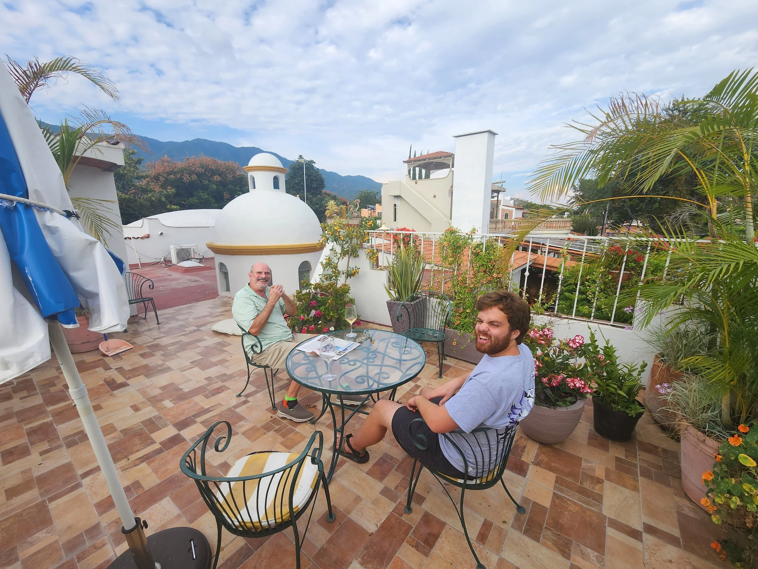
Sitting on the roof terrace of our friends Jim and Christopher.

The view from the terrace.

Lake Chapala during a walk while one of the tires was being mounted at the tire shop.

A quick snack for the a burro during our walk in Ajijic.

The Tequila cathedral.

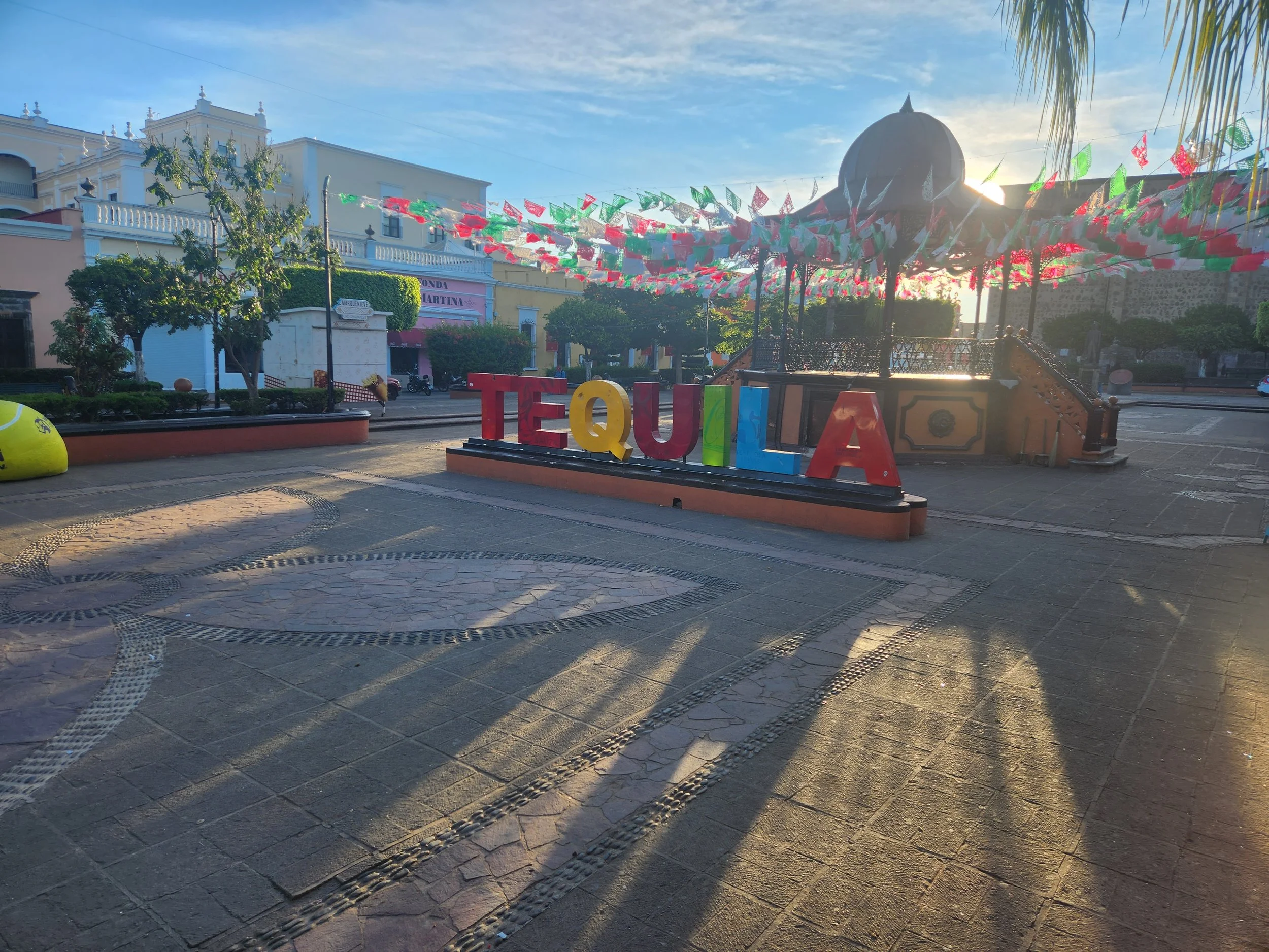
The obligarory town sign. Every town seems to have one of these somewhere.

Tequila main square and cathedral.

Agave "piña" halved and ready to be put in the oven. All of the work in this distillery is done by hand including the packing of the piña into the ovens.
On the tour of the distilery grounds.

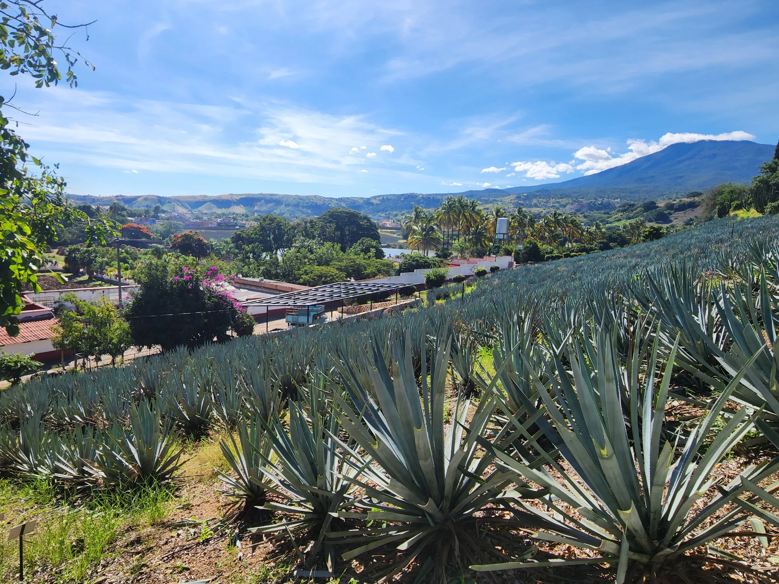
Agave fields at the distilery.

View from the "mirador" (balcony or viewing platform) of the town of Tequila.

The town of Tequila

Each section of an agave field has a stone like this that records The sign has the section location, year the agave were planted, It's section number, number of plants in the section and number of rows in the section.
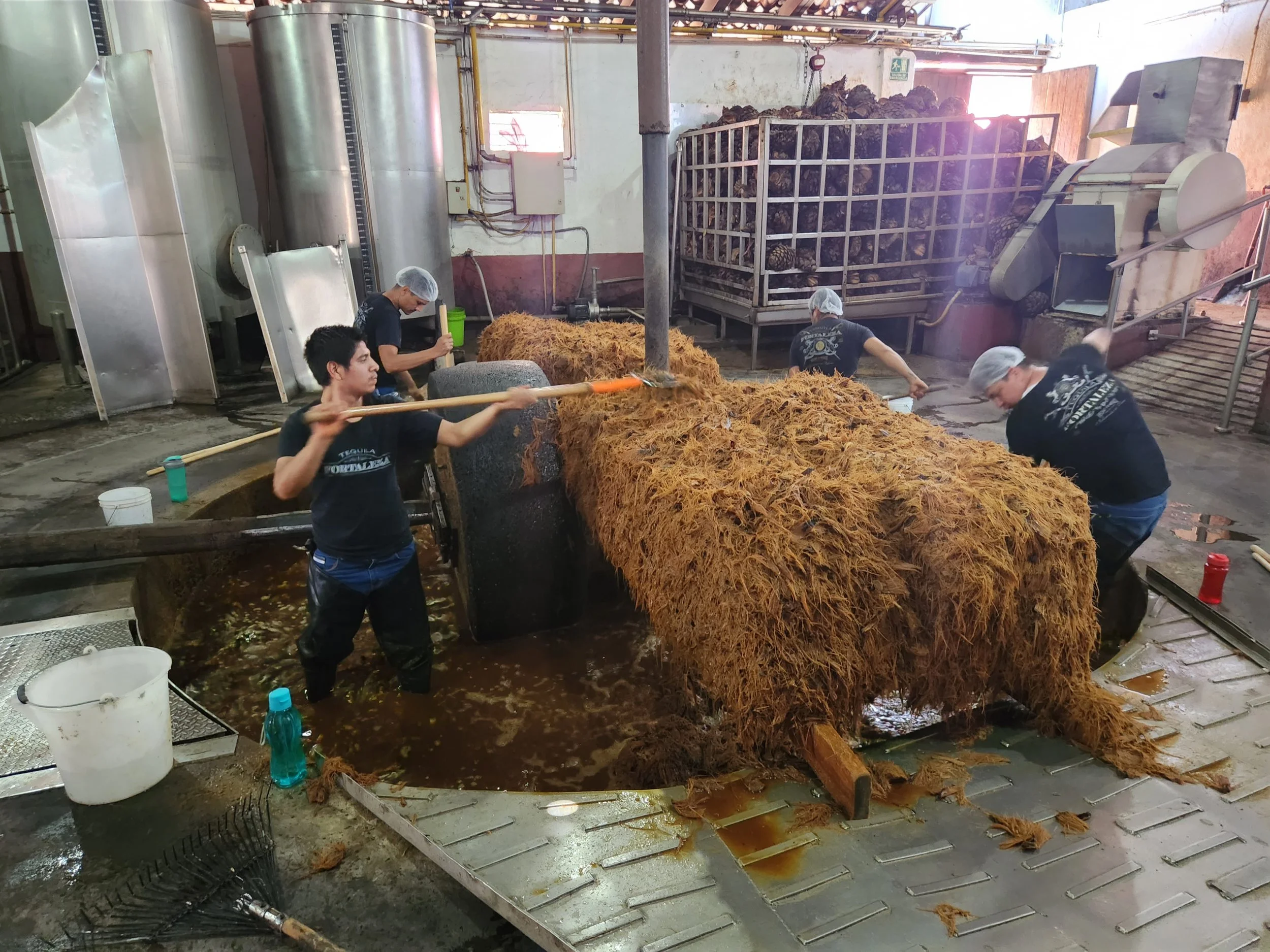
after the piña are baked in the ovens they are brought here and a big stone grinds them into this pulp. The workers then manually fork the pulp out so the liquid can be sent to the next phase of the process.

Tequila fermintation vats.
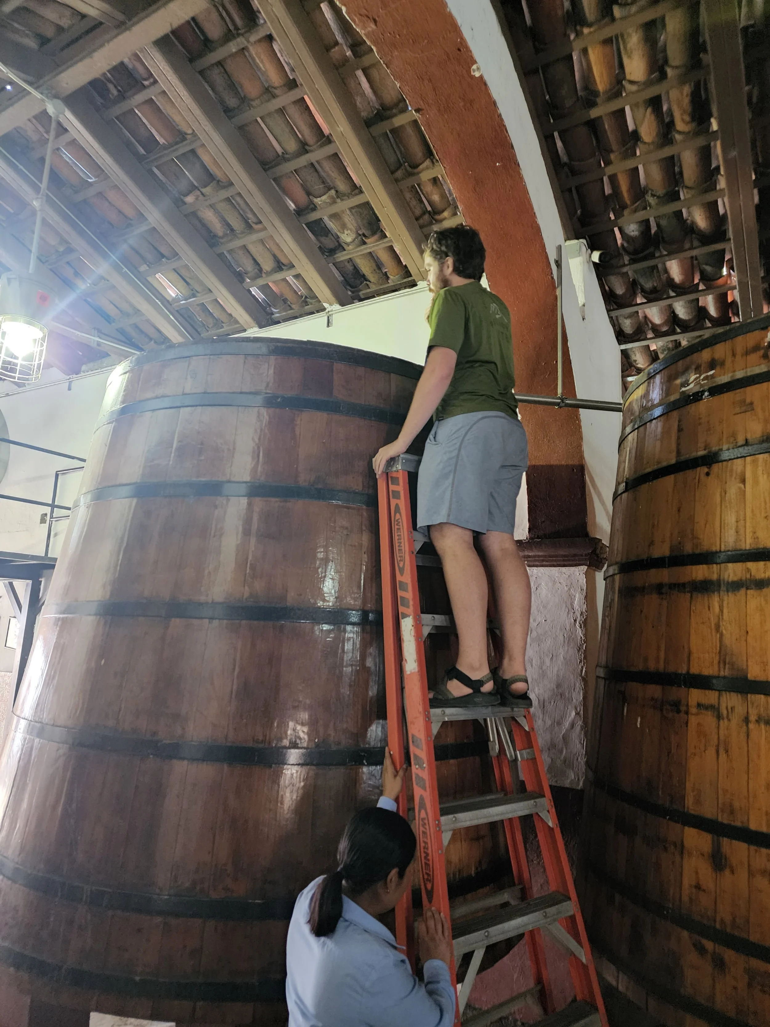
Neil checking out the fermentation vat.

I don't know how these guys got in the picture.
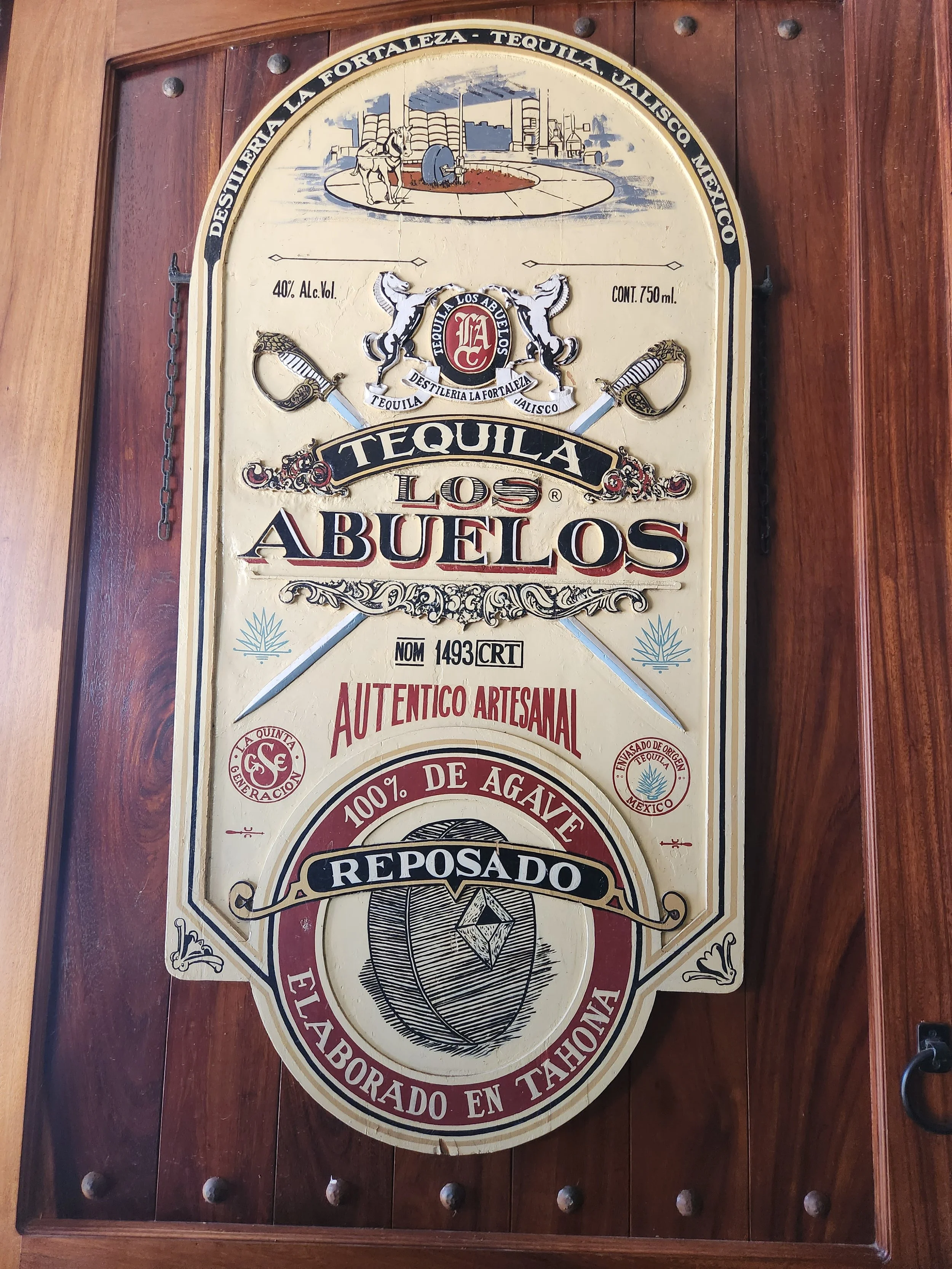
This is the name of the distillery. However there was another company, in Europe I believe, who used the Abuelos name so everywhere except Mexico it is sold and labeled as Forteleza.
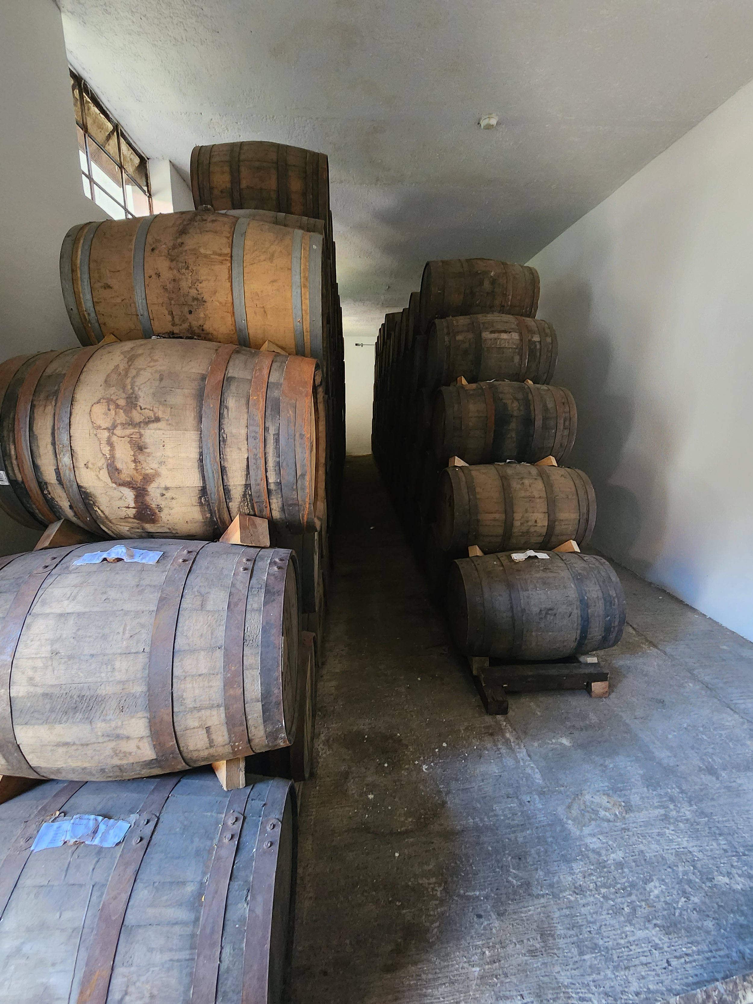
Aging barrels.

The hand made cork bottle stoppers. The top is hand cast plaster, hand painted and then the cork is attached by hand before they are used for bottling.
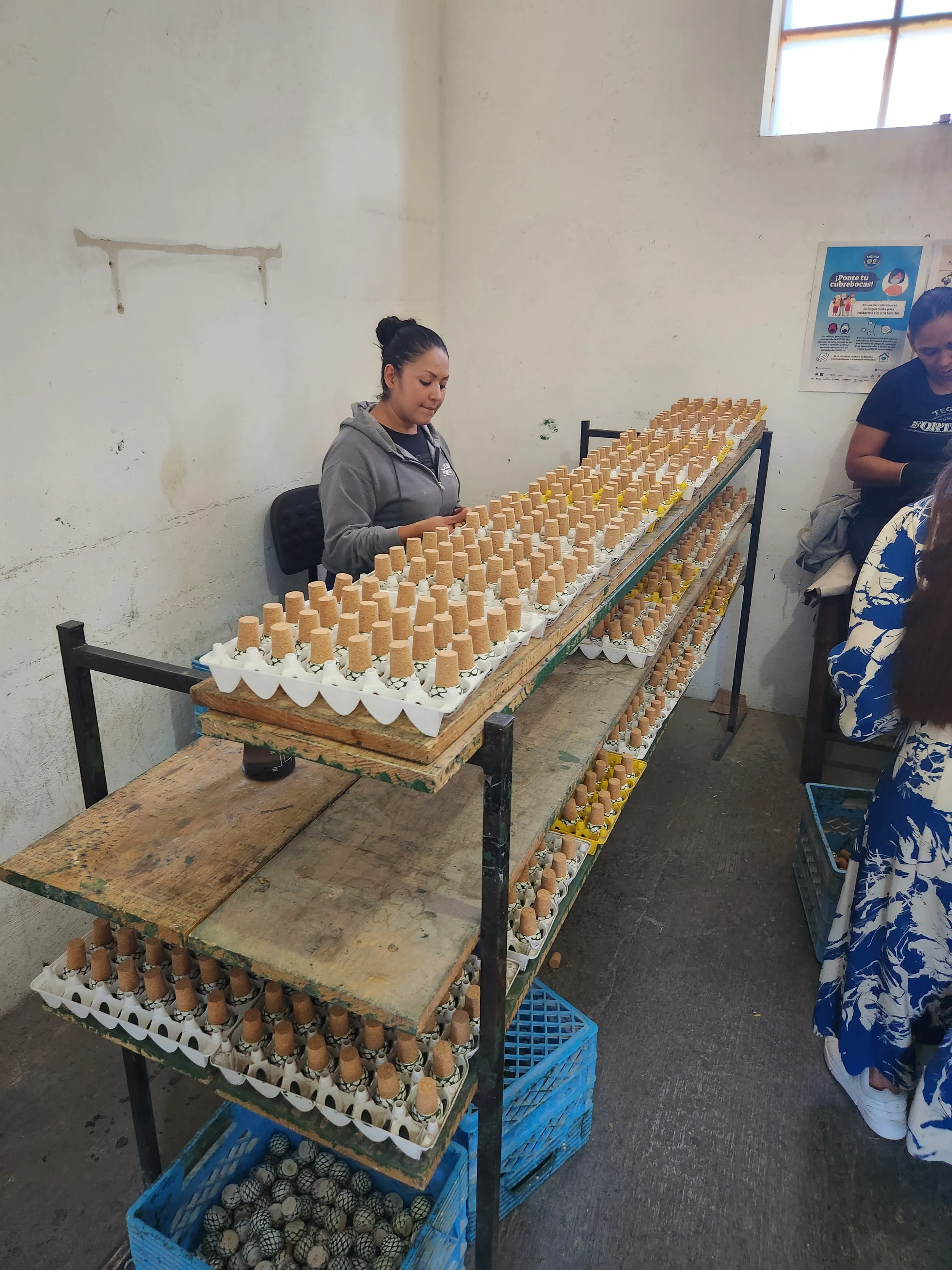
More stoppers

The tasting room is in a cave at the distillery.


The first of five types we tasted. It's very good!
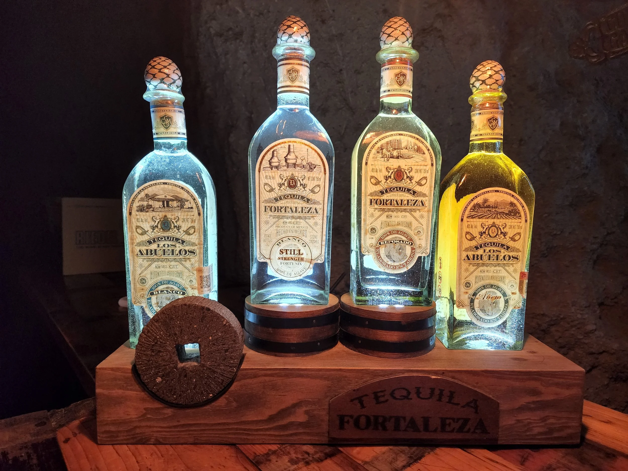
The Forteleza offerings
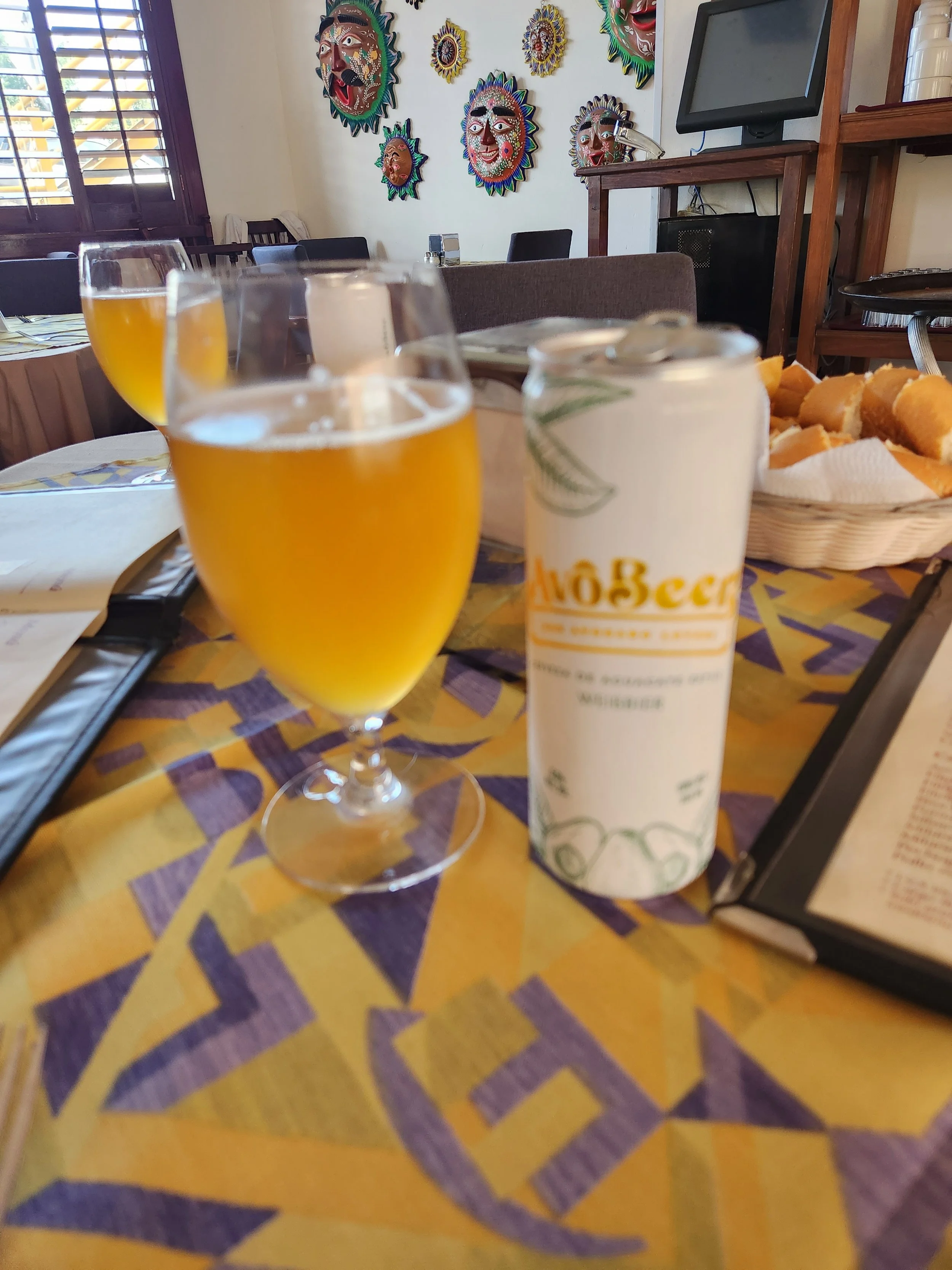
We are out of Tequila here in Morelia for this pic. The hotel we stayed out there was offering a free Avocado Beer tasting. I'd say it was not terrible, definitely beerish, but not something I'd order again. LOL


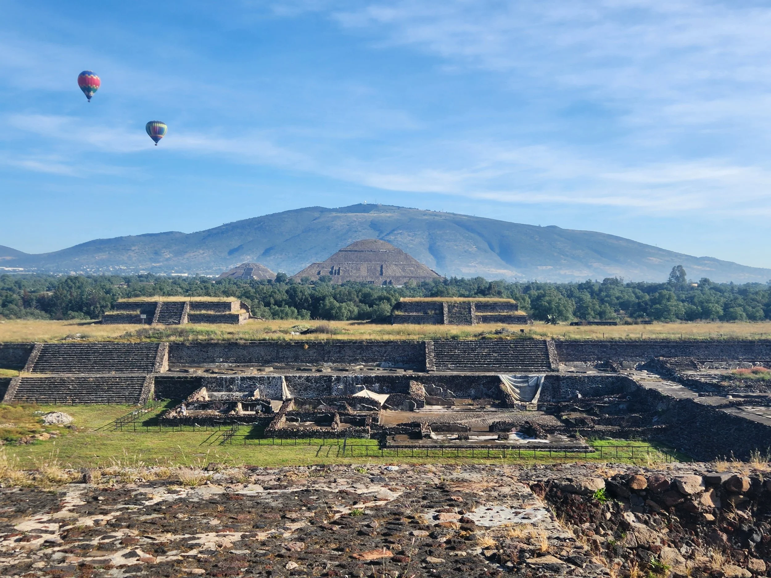
Morning balloon tours over Teotihuacan

Balloons over the pyramids.


Teotihuacan main plaza

Teotihuacan Temple of the Moon


Teotihuacan Temple of the Sun


Mexico National Theater
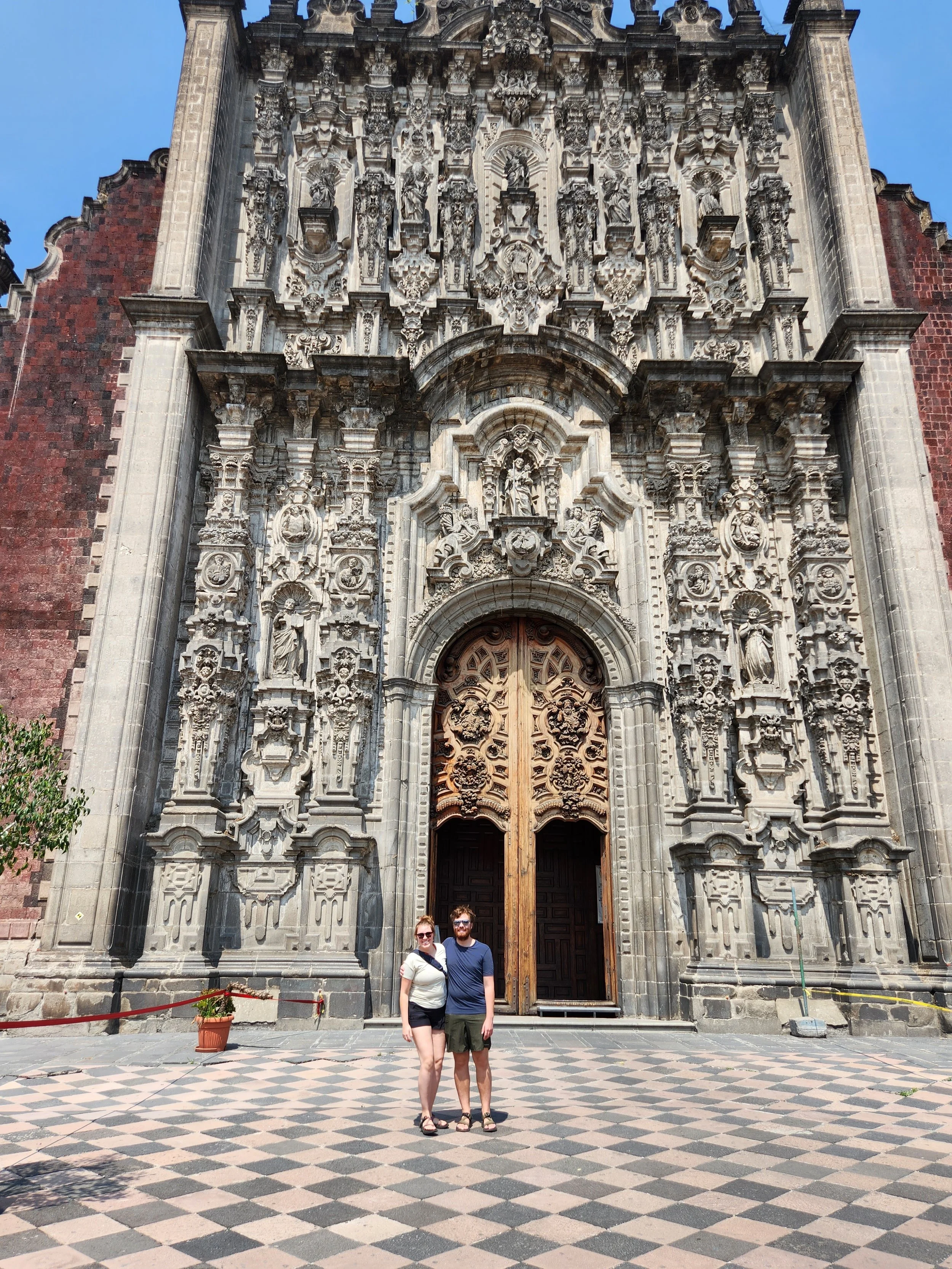
Neil and Paxon at the entrance to the Metropolitan Cathedral

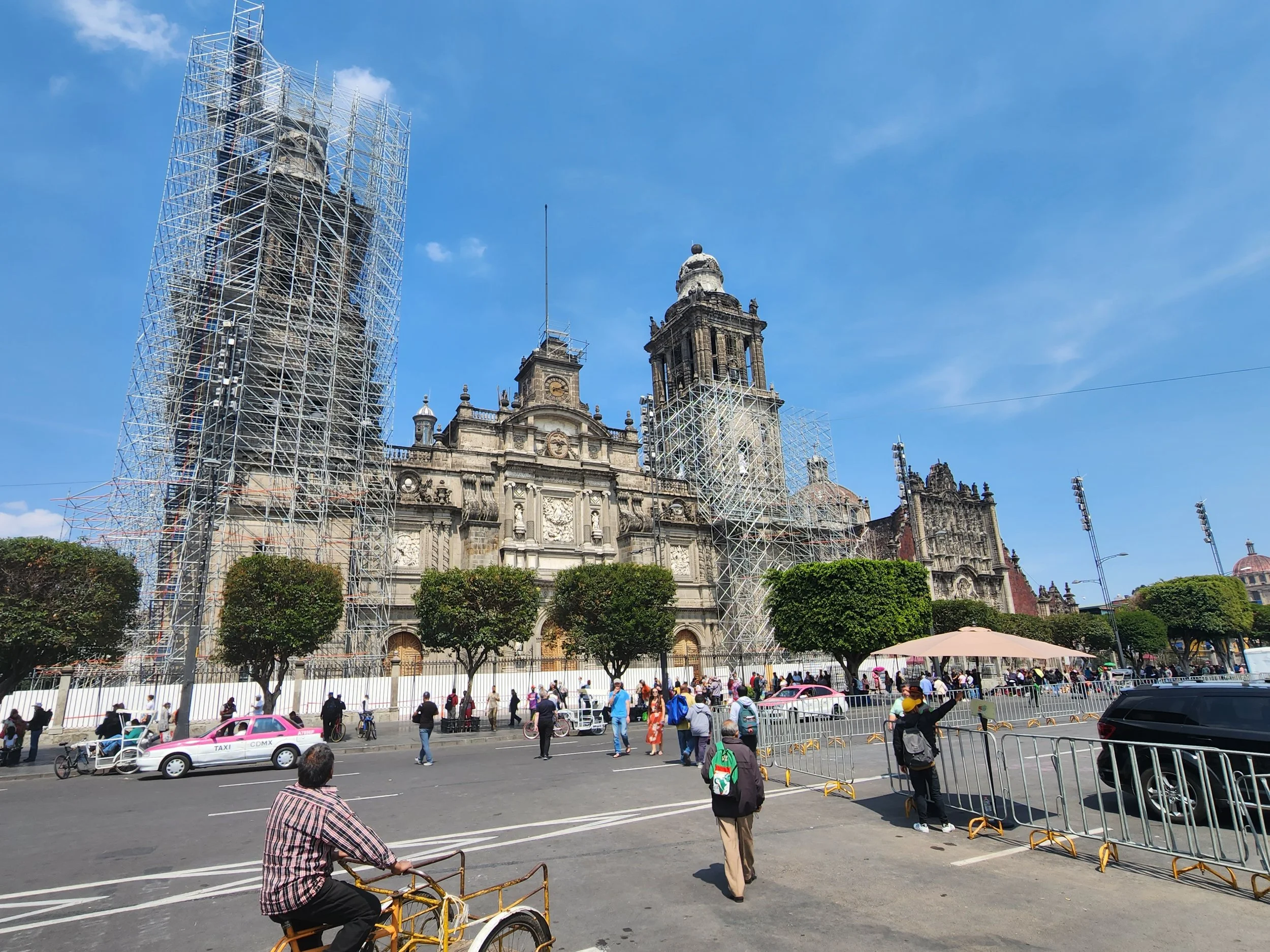
Zocalo Square and Mexico City Cathedral
We could go in the cathedral but due to construction major portions of it were closed to viewing.

Mexico City Cathedral


At the botanical gardens

Botanical Gardens

Inside the Natural History Museum

Craneos sculptures on display for the Day of the Dead

This park had 100 of the painted skulls on display for the Day of the Dead.


Neil and Paxon at the Teotihuacan Temple of the Moon
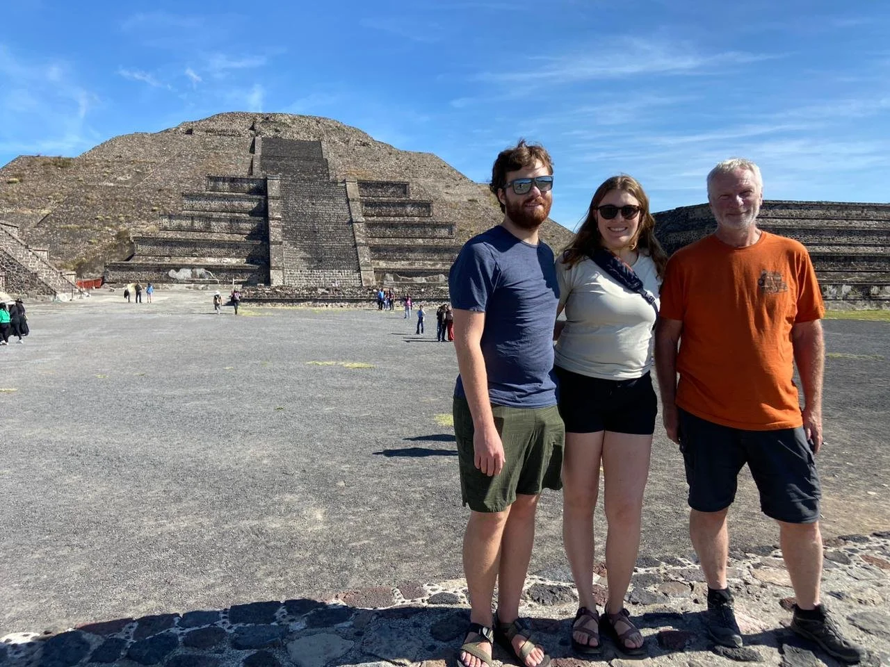
And all of us.


I saw this Day of the Dead decoration in a doorway near our hotel in Mexico City on my way to pick up our laundry.
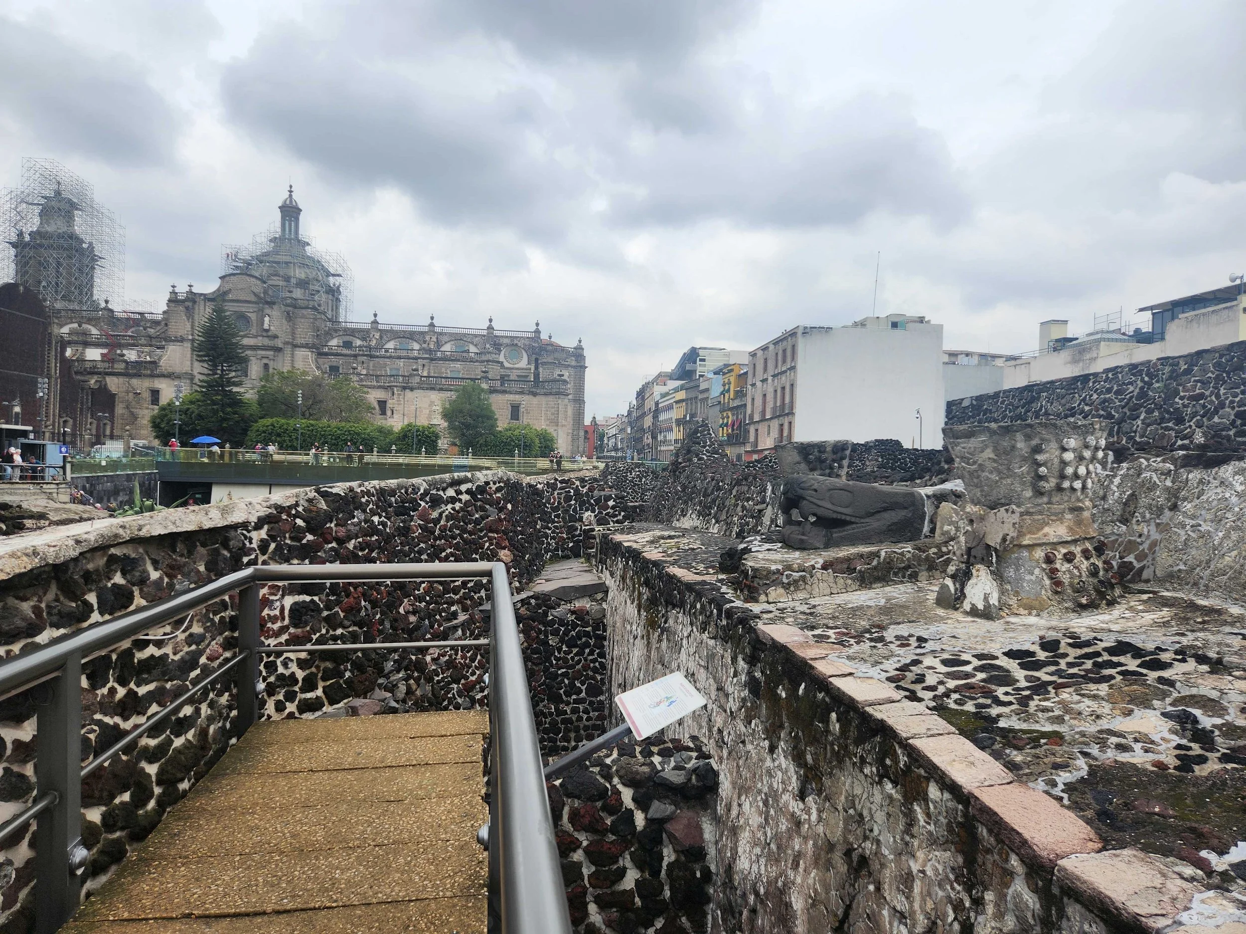
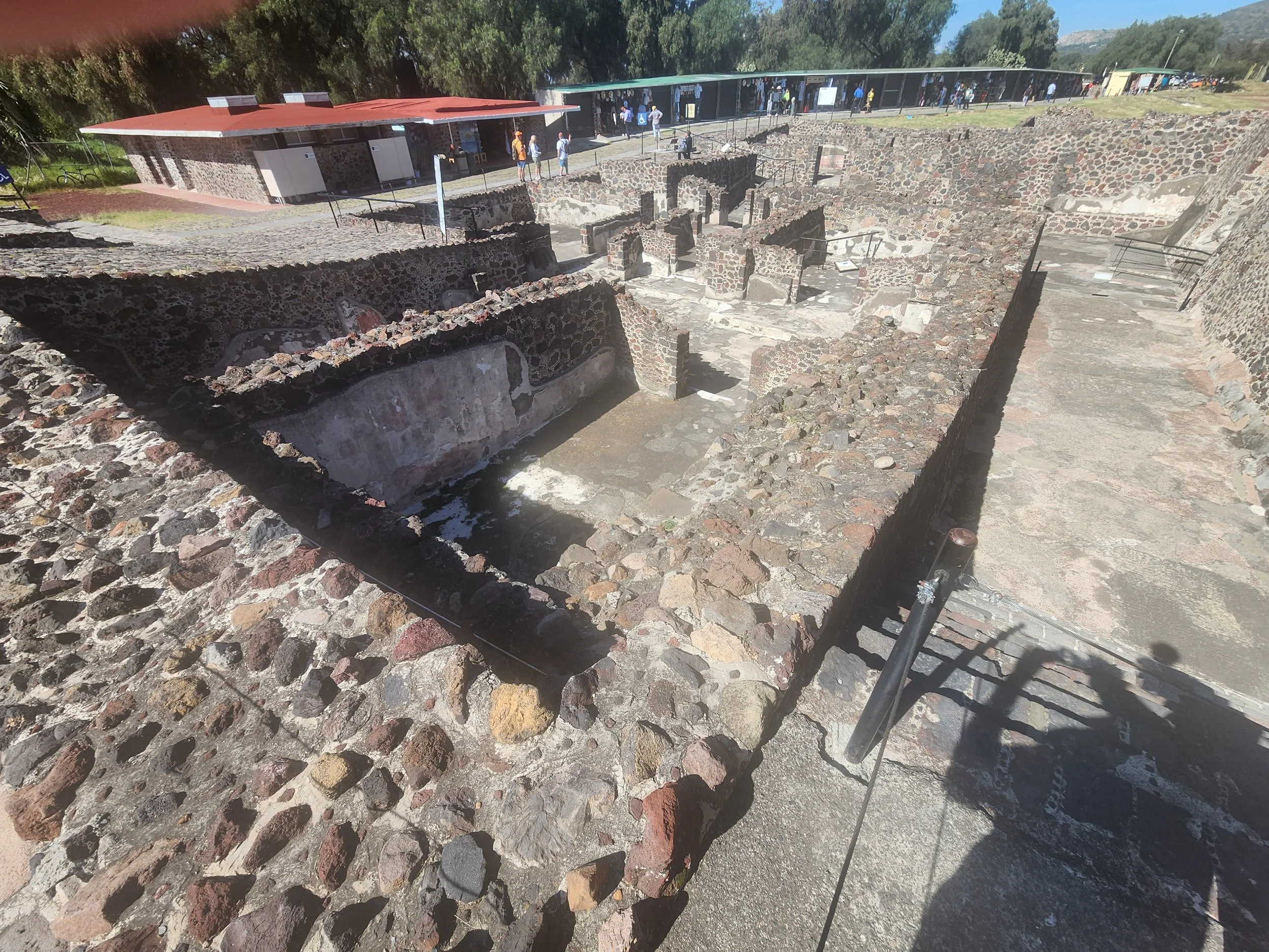
Tenochtitlan ruins in Mexico City with the Metropolitan Cathedral in the background

Inside the Tenochtitlan Museum - Mexico City.

Hotel parking at San Andres Tuxtla. The hotel was in the center of the old part of town and the only way in and out of underground parking was via the car elevator.

San Andres Tuxtla Cathedral

This reminded me of similar things I saw on my trip to India. Flower petals arranged nicely and floating in water at the entrance to our hotel dining room at Palenque.

On the hike in to Palenque


There are two entrances to Palenque. The main entrance that lets you directly into the main part of the ruins and then the "archeological" entrance that we took. It's a hike through the jungle before entering the ruins proper. This is the stream under suspension bridge in the prior pictures.

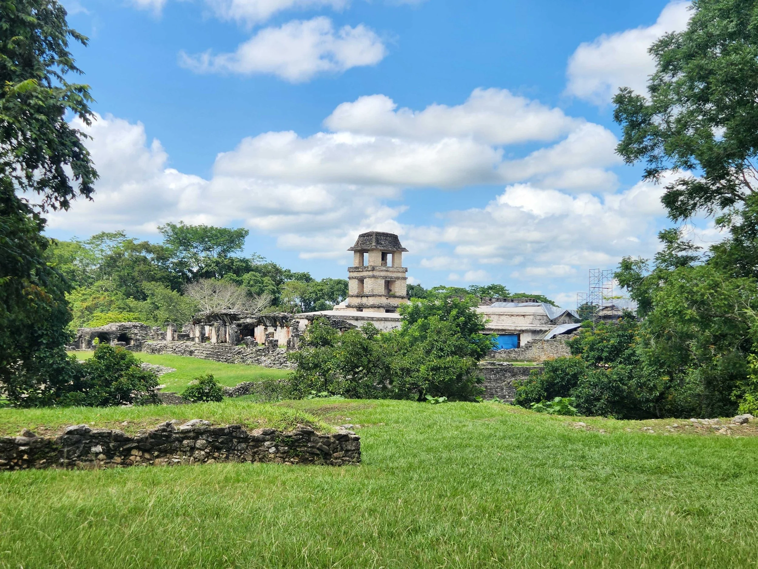
Palenque ruins.


Our first view of the Gulf of Mexico at the start of the bicycle race.

While riding to Chichen Itza we stumbled on the start of a bicycle race
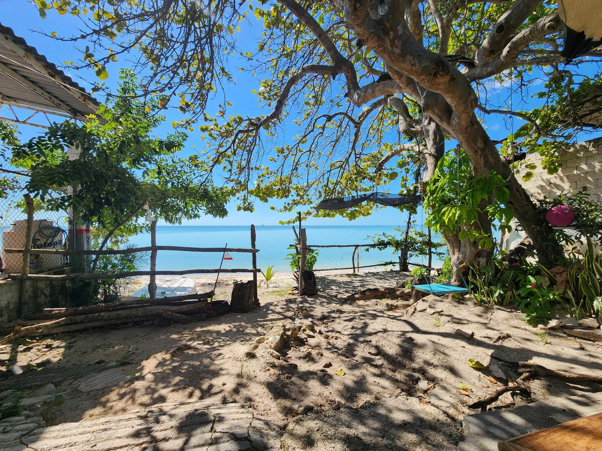
We chose to stay in a little town named Seybaplya before going into Chichen Itza. Unfortunately it is a little town and it was Sunday. Almost nothing was open, but we found this one little outdoor empanada place open. So we sat here and enjoyed the view and had our dinner before heading back to the hotel.

We officially arrived at Chichen Itza

The "Ball Court" at Chichen Itza

On the left of this picture near the top of the wall you can see one of the rings that the players were supposed to get the ball through in this game.


Chichen Itza main temple.


The last of the Chichen Itza pictures.

Neil taking a rest at our hotel in Bacalar.
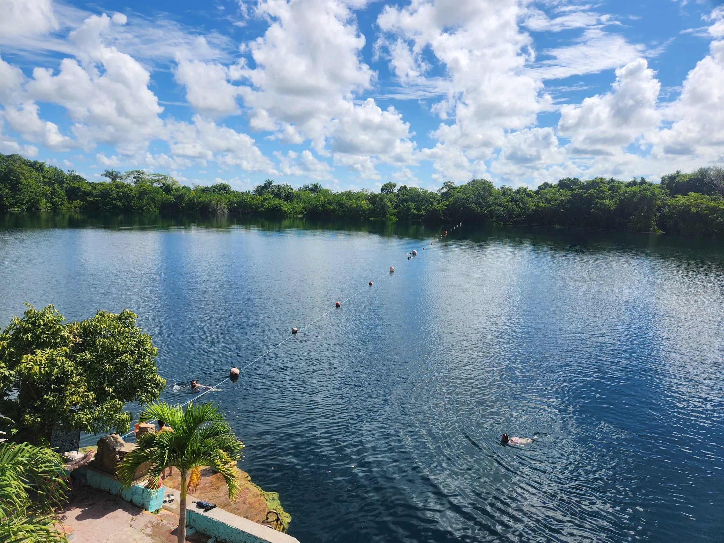
Cenote Azul in Bacalar. One of the local swimming holes in the area.
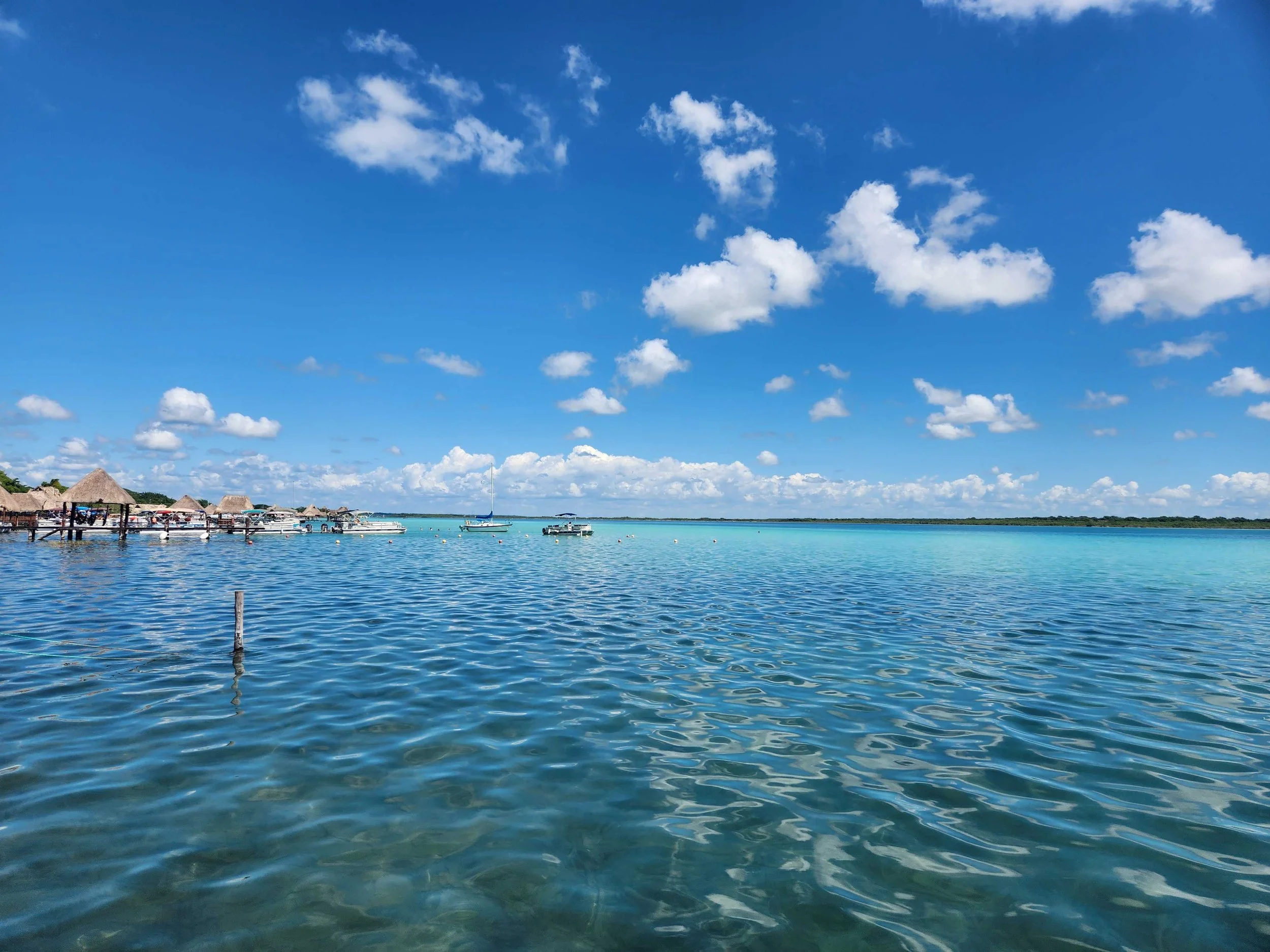
Bacalar Lagoon

Bacalar Lagoon